Serra de Sant Pere

Gallery (1)
Map
Map
Facts and practical information
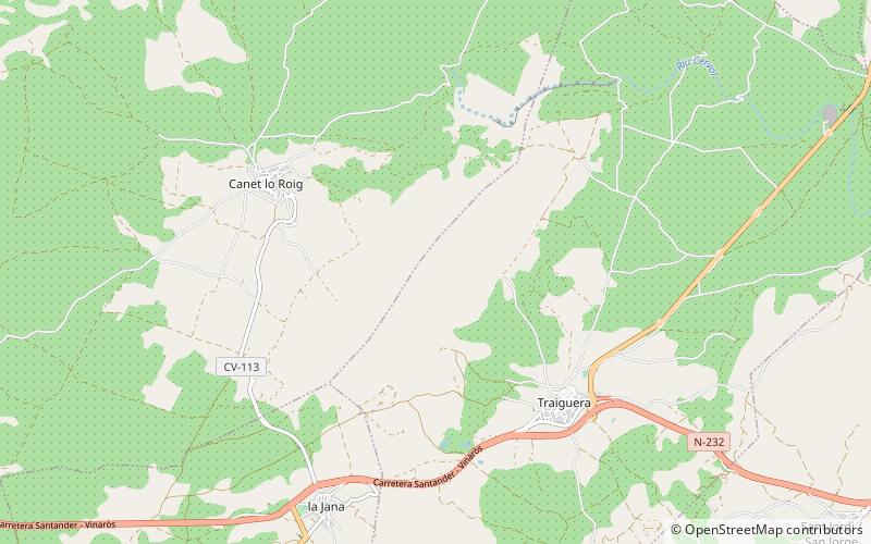
Serra de Sant Pere or Serra del Solà is a 5.8 km long mountain range in the Baix Maestrat comarca, Valencian Community, Spain. Its highest point is Tossal de Sant Pere. The slopes are covered in low Mediterranean vegetation ()
Maximum elevation: 1775 ftCoordinates: 40°32'25"N, 0°16'11"E
Location
Valencia
ContactAdd
Social media
Add
Day trips


