Cervera Mountains
Map

Map

Facts and practical information
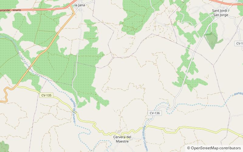
The Cervera Mountains is an 18.8 km long mountain range in the Baix Maestrat comarca, Valencian Community, Spain. In some ancient texts these mountains are known as Serra d'en Menor. Its highest point is Revoltons, 635 m. Other notable summits are Perdiguera, 516 m and Mola, 481 m. ()
Maximum elevation: 2083 ftCoordinates: 40°28'54"N, 0°16'34"E
Location
Valencia
ContactAdd
Social media
Add
Day trips
Cervera Mountains – popular in the area (distance from the attraction)
Nearby attractions include: Serra de la Vall d'àngel, Serra de Sant Pere, Sant Jordi, Traiguera.


