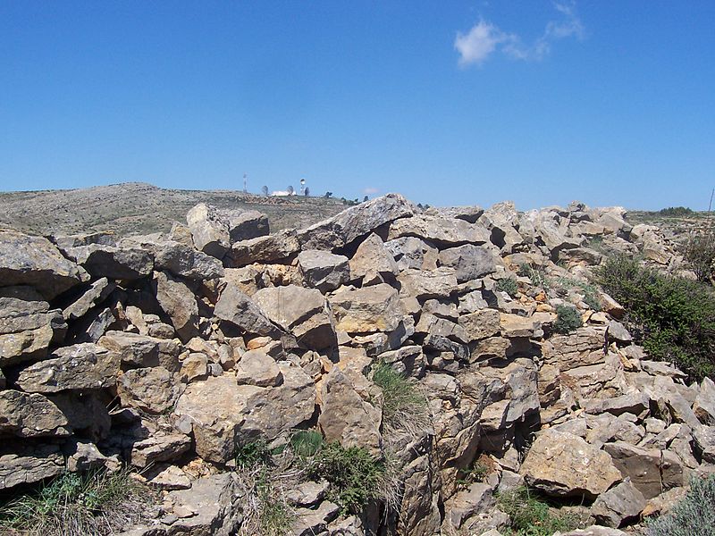
La Salada


Facts and practical information
Salada, is a geodesic vertex of the first order located in Spain. With an altitude of 1,586 metres above sea level, it is located between the municipalities of Abejuela and El Toro, and forms part of the last foothills of the Sierra de Javalambre, here called El Toro. Very close to its summit passes the road that joins the towns of El Toro and Andilla, its northern slope belongs to the province of Castellón and its southwestern slope to the province of Teruel.
The royal cattle track from Valencia to Aragón passes through its vertex, ascends the cattle track through the Resinero hill, passes through El Vértice Salada and descends towards the West in the direction of Montesinos. Nearby there is a snowdrift and several snow pits for the collection and accumulation of snow.
In July 1938 the battle of Valencia was fought on its slopes and on the summit itself. In the 1970s, a communications base of the army was established on its summit.
On clear days you can see a beautiful view over the gulf of Valencia.
Aragon
La Salada – popular in the area (distance from the attraction)
Nearby attractions include: Sierra del Toro.

