Memorial de l'Exèrcit Popular, Pujalt

Gallery (1)
Map
Map
Facts and practical information
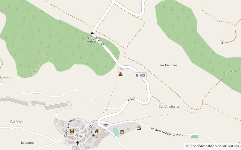
Memorial de l'Exèrcit Popular (address: Carretera Pujalt, s/n) is a place located in Pujalt (Catalonia autonomous community) and belongs to the category of museum.
It is situated at an altitude of 2326 feet, and its geographical coordinates are 41°43'13"N latitude and 1°25'26"E longitude.
Among other places and attractions worth visiting in the area are: Castell de Castellfollit (forts and castles, 101 min walk), Calaf (town, 120 min walk).
Coordinates: 41°43'13"N, 1°25'26"E
Day trips

