Rocallarga, Rupit
#1 among attractions in Rupit


Facts and practical information
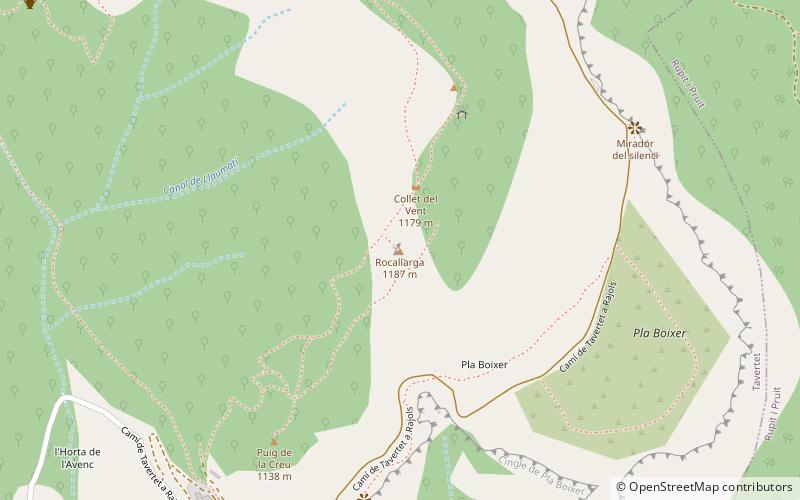
Rocallarga is a mountain of the Guilleries Massif, Catalonia, Spain. It has an elevation of 1,186.5 metres above sea level. ()
Rupit Spain
Rocallarga – popular in the area (distance from the attraction)
Nearby attractions include: Sant Pere de Casserres, Church of Sant Romà, el Far, Sau Reservoir.
 Romanesque architecture, Monastery
Sant Pere de Casserres, Vic
138 min walk • Sant Pere de Casserres is a Benedictine monastery in the town of Les Masies de Roda, Osona comarca, Catalonia, Spain. The 11th-century Romanesque-style building was declared a Bien de Interés Cultural landmark in 1931.
 Church
Church of Sant Romà
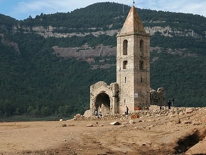
95 min walk • Nestled in the heart of Lloret de Mar, a bustling town on the Costa Brava of Spain, the Church of Sant Romà stands as a testament to the region's rich history and architectural heritage. This exquisite church, with origins dating back to the early 16th century, is a...
 Nature, Natural attraction, Mountain
el Far
121 min walk • Nestled in the rugged terrain of Catalonia, Spain, El Far is a mountain that offers more than just stunning vistas; it's a spiritual retreat and a beacon of tranquility. The mountain, whose name means "The Lighthouse" in Catalan, is not only a geographical landmark but...
 Nature, Natural attraction, Lake
Sau Reservoir
107 min walk • Sau Reservoir is a reservoir located on the Ter river, near Vilanova de Sau, Catalonia, Spain. The dam was completed in 1962, creating a reservoir with a storage capacity of 151.3 hm³ that covered the former town of Sant Romà de Sau.
 Nature, Natural attraction, Mountain
Turó del Castell
80 min walk • Turó del Castell is a mountain of the Guilleries Massif, Catalonia, Spain. It has an elevation of 851.1 metres above sea level. The Susqueda reservoir lies off the southern slopes of the mountain. The high plateau lying ENE of the mountain is known as Pla del Castell. A rocky outcrop known as Puig de la Força rises WSW of the summit.
 Nature, Natural attraction, Mountain
Cabrera
127 min walk • Cabrera is a mountain of Catalonia, Spain. It has an elevation of 1,307 metres above sea level.
 Nature, Natural attraction, Mountain
L'Agullola, Rupit
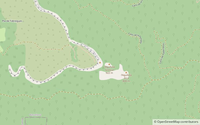
50 min walk • L'Agullola is a mountain of the Guilleries Massif, Catalonia, Spain. It has an elevation of 921.9 metres above sea level. The plateau known as Pla de Fàbregues lies NW of the summit.
 Nature, Natural attraction, Mountain
Sant Benet
140 min walk • Sant Benet is a mountain of the Guilleries Massif, Catalonia, Spain. It has an elevation of 1,146.9 metres above sea level.
 Nature, Natural attraction, Mountain
Guilleries
137 min walk • The Guilleries Massif is a mountain system located at the apex of the Catalan Transversal Range and the Pre-Coastal Range.
 Nature, Natural attraction, Mountain
Montdois
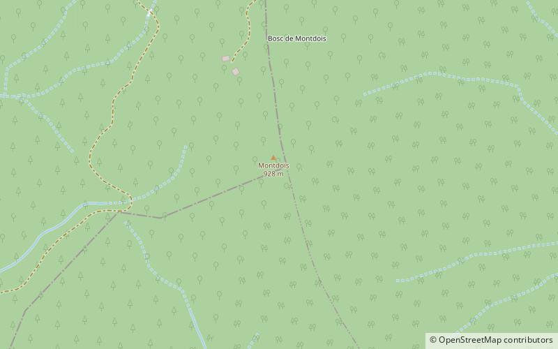
72 min walk • Montdois is a mountain of the Guilleries Massif, Catalonia, Spain. It has an elevation of 928.1 metres above sea level.

