L'Agullola, Rupit

Map
Facts and practical information
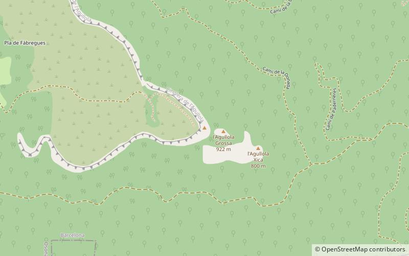
L'Agullola is a mountain of the Guilleries Massif, Catalonia, Spain. It has an elevation of 921.9 metres above sea level. The plateau known as Pla de Fàbregues lies NW of the summit. L'Agullola Grossa is a sharp rocky outcrop rising just SE of the cliff wall. ()
Elevation: 3022 ftCoordinates: 42°0'16"N, 2°28'59"E
Address
Rupit
ContactAdd
Social media
Add
Day trips
L'Agullola – popular in the area (distance from the attraction)
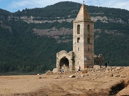
Nearby attractions include: Church of Sant Romà, el Far, Sau Reservoir, Turó del Castell.


