La Mussara

Gallery (1)
Map

Map
Facts and practical information
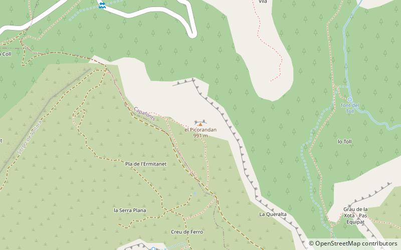
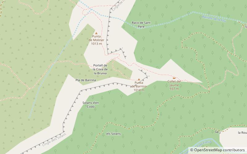
La Mussara is a mountain of Catalonia, Spain. It is the highest peak of the Serra de la Mussara, a subrange of the Prades Mountains. Located north of the town of Vilaplana, La Mussara has an elevation of 1055 metres above sea level. ()
Elevation: 3463 ftCoordinates: 41°15'29"N, 1°3'21"E
Location
Catalonia
ContactAdd
Social media
Add
Day trips