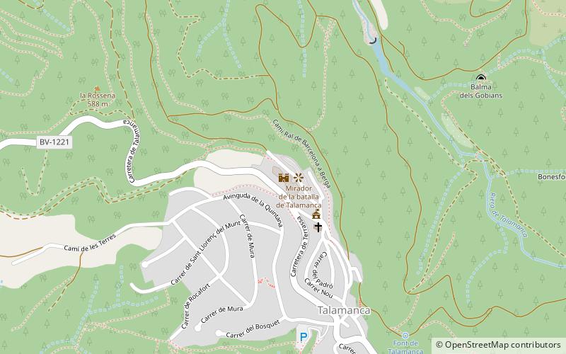
Castell de Talamanca, Talamanca
Map

Map

Facts and practical information
Castell de Talamanca (address: Carrer de l'Era, 29) is a place located in Talamanca (Catalonia autonomous community) and belongs to the category of forts and castles.
It is situated at an altitude of 1801 feet, and its geographical coordinates are 41°44'21"N latitude and 1°58'34"E longitude.
Among other places and attractions worth visiting in the area are: Molí del Faure, Mura (watermill, 66 min walk), Bassa del Molí d'en Sala, Monistrol de Calders (watermill, 73 min walk), Calders (locality, 94 min walk).
Coordinates: 41°44'21"N, 1°58'34"E
Day trips
Castell de Talamanca – popular in the area (distance from the attraction)
Nearby attractions include: Sant Benet de Bages, Montcau, Sant Jaume de Vallverd, Molí del Faure.


