Trek Zone

Molí del Faure, Mura

#1 among attractions in Mura

Watermill
Molí del Faure

Facts and practical information

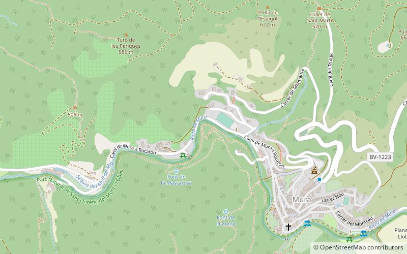
Molí del Faure is a place located in Mura (Catalonia autonomous community) and belongs to the category of watermill.

It is situated at an altitude of 1486 feet, and its geographical coordinates are 41°42'8"N latitude and 1°58'20"E longitude.

Among other places and attractions worth visiting in the area are: Montcau (nature, 64 min walk), Castell de Talamanca, Talamanca (forts and castles, 66 min walk), Bassa del Molí d'en Sala, Monistrol de Calders (watermill, 120 min walk).

Coordinates: 41°42'8"N, 1°58'20"E
Address

Mura Spain

ContactAdd
Social media
Add

Mura plan & book

Unleash the traveler in you — discover the cheapest flight deals, find the perfect hotel or hostel nearby, and search for the best car rental prices. Travel at your own pace to discover new places and enjoy your journey.

Day trips

Molí del Faure – popular in the area (distance from the attraction)

Nearby attractions include: Sant Benet de Bages, Monestir de Sant Llorenç del Munt, Montcau, Sant Llorenç del Munt.

  • sant benet de bages navarcles4.7 miNW
  • monestir de sant llorenc del munt4.8 miSE
  • montcau2.5 miSE
  • sant llorenc del munt4.8 miSE
  • turo de la mamella location map
    5.1 miS
  • parc del llac navarcles5.1 miNW
  • castell de granera4.8 miNE
  • parc de la font vella navarcles5 miNW
  • bassa del moli den sala monistrol de calders4.7 miNE
  • castell de talamanca2.6 miN

Where to next? Visit catalonia Catalonia region page or discover the top tourist attractions in Spain.