Iglesia Protestante de Cigales, Cigales
Map

Map

Facts and practical information
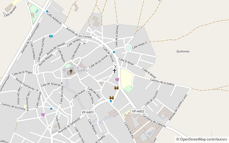
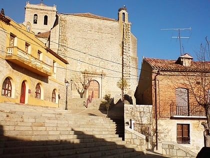
The Protestant Church of Cigales was located in calle de las Tercias n.º 5 of this city. The building is preserved in the same place although it was converted in 1984 for housing. It has a curious facade of exposed brick and masonry.
Coordinates: 41°45'30"N, 4°41'47"W
Address
Cigales
ContactAdd
Social media
Add
Day trips
Iglesia Protestante de Cigales – popular in the area (distance from the attraction)
Nearby attractions include: Fuensaldaña Castle, Fuensaldaña, Monasterio de Santa María de Palazuelos, Castillo de Trigueros del Valle.
Frequently Asked Questions (FAQ)
Which popular attractions are close to Iglesia Protestante de Cigales?
Nearby attractions include Torre del Palacio, Cigales (2 min walk), Church of Santiago, Cigales (5 min walk).


