Ayuntamiento de Losar de la Vera, Losar de la Vera

Gallery (1)
Map
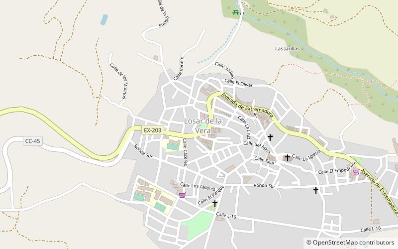
Map
Facts and practical information
Ayuntamiento de Losar de la Vera (address: Plaza de la Viñuela, 29) is a place located in Losar de la Vera (Extremadura autonomous community) and belongs to the category of city hall.
It is situated at an altitude of 1811 feet, and its geographical coordinates are 40°7'19"N latitude and 5°36'25"W longitude.
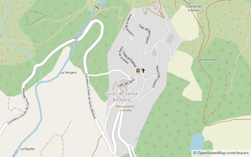
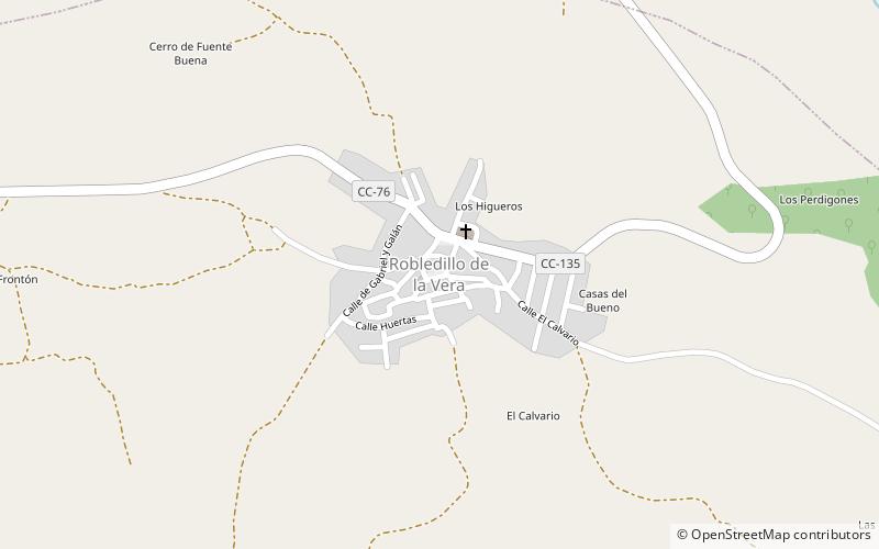
Among other places and attractions worth visiting in the area are: Robledillo de la Vera (locality, 46 min walk), Jarandilla de la Vera (locality, 74 min walk), Guijo de Santa Bárbara (locality, 87 min walk).
Coordinates: 40°7'19"N, 5°36'25"W
Address
Plaza de la Viñuela, 29Losar de la Vera
ContactAdd
Social media
Add
Day trips