Refugi Serra d'Ensija

Gallery (1)
Map
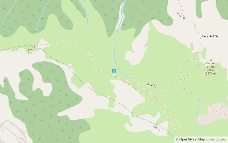
Map
Facts and practical information
Refugi Serra d'Ensija is a place located in Spain and belongs to the category of hiking, alpine hut.
It is situated at an altitude of 7116 feet, and its geographical coordinates are 42°11'14"N latitude and 1°44'55"E longitude.
Among other places and attractions worth visiting in the area are: Rasos de Peguera (winter sport, 82 min walk), Sant Sebastià del SullCadí-Moixeró Natural Park (monastery, 99 min walk), Refugi Lluís EstasenCadí-Moixeró Natural Park (campsite, 111 min walk).
Coordinates: 42°11'14"N, 1°44'55"E
Day trips