Sants-Montjuïc, Barcelona
Map
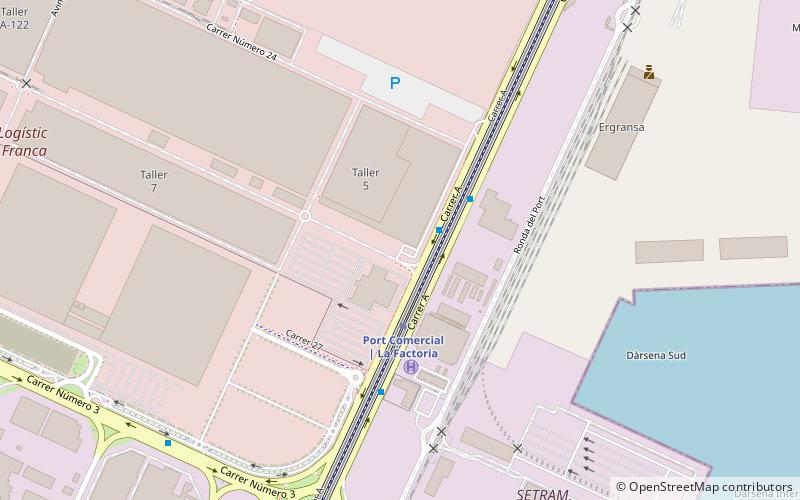
Map

Facts and practical information
Sants-Montjuïc is one of the ten districts into which Barcelona has been split since 1984, numbered District 3. Comprising very different areas of the city, it covers the southern part of Barcelona, joining the two former districts II and VII, as well as the different areas comprised in the Zona Franca. As of the 2005 census it had a population of 177,636. It borders Les Corts, Eixample, Ciutat Vella, and the municipalities L'Hospitalet de Llobregat and El Prat de Llobregat. ()
Address
Sants-Montjuïg (Zone Franca-Port)Barcelona
ContactAdd
Social media
Add
Day trips
Sants-Montjuïc – popular in the area (distance from the attraction)
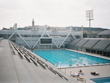
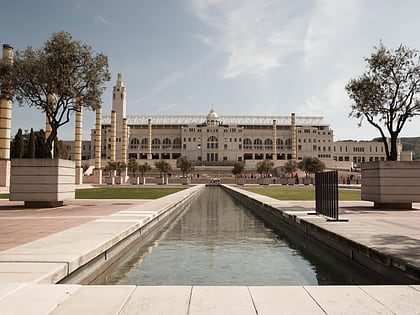
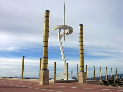
Nearby attractions include: Palau Sant Jordi, Estadi Olímpic Lluís Companys, Piscines Bernat Picornell, Anella Olímpica.
Frequently Asked Questions (FAQ)
How to get to Sants-Montjuïc by public transport?
The nearest stations to Sants-Montjuïc:
Bus
Metro
Bus
- Carrer A - Comissaria Portuària • Lines: 109, 21, N1 (2 min walk)
- Carrer A - Carrer número 27 • Lines: 109, 21 (3 min walk)
Metro
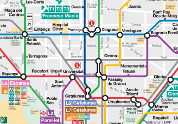
- Port Comercial | La Factoria • Lines: L10 Sud (3 min walk)
- Zona Franca • Lines: L10 Sud (12 min walk)

 Metro
Metro

