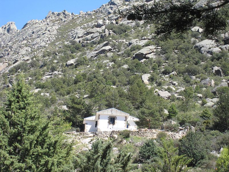
Refugio Giner de los Ríos, Guadarrama National Park

Gallery (2)
Map
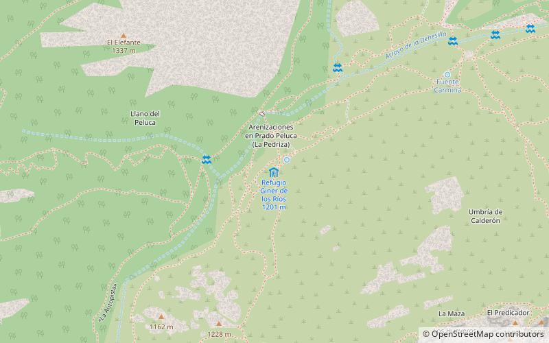
Map
Gallery
Facts and practical information
The Giner de los Ríos refuge is a guarded mountain refuge, located in the central area of La Pedriza, an area of great geological, scenic and sporting interest in the Sierra de Guadarrama.
Coordinates: 40°45'48"N, 3°53'1"W
Day trips