Tuc de Saburó, Aigüestortes i Estany de Sant Maurici National Park


Facts and practical information
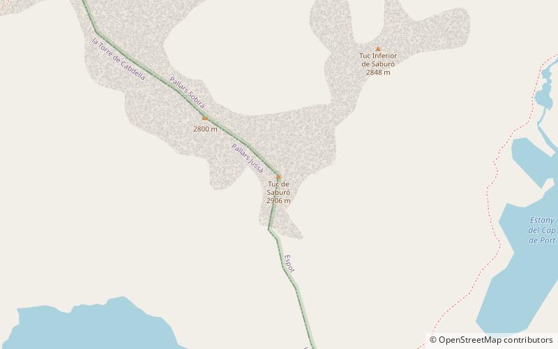
The peak of Saburó, also called Tuc de Saburó, at 2905.7 m, is a mountain in the Pyrenees, in Spain. It is located in the province of Lérida, between the municipalities of Torre de Cabdella, in the region of Pallars Jussá, to the south, and Espot, in Pallars Sobirá, to the north.
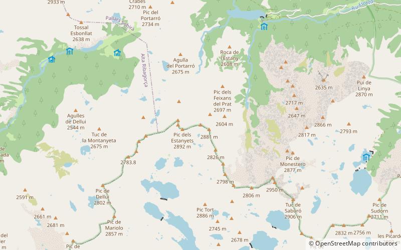
The Saburó forms part of the ridge that closes the eastern side of the Aiguas Tortas and Sant Maurici Lake National Park to the south. To the north is the valley of Peguera. In this valley and to the east of the Saburó, is the Gelat or Cap de Port lake. To the south is the valley of Flamisell or Vall Fosca, headed by an impressive set of glacial lakes; at the foot of the peak is the lake of Saburó, which can be dry for reasons of hydraulic exploitation.
Between the two lakes mentioned above, to the south of Saburó, is the Capdella or Saburó pass, at 2668 m, through which passes the GR 11-20 long-distance footpath that links the refuges of José Maria Blanc, in the Aiguas Tortas park, and that of La Colomina, in the Flamisell valley. This route is part of the Carros de Foc route, which covers all the refuges in the national park over the course of a week.
On the same ridge that borders the entire park, to the northwest is the Peguera peak, at 2980 m, and to the southeast, after the Saburó pass, the Mainera peak, at 2910 m. A shorter ridge forms an extension to the north to give rise to the Inferior peak of Saburó, 2855m.
Aigüestortes i Estany de Sant Maurici National Park
Tuc de Saburó – popular in the area (distance from the attraction)
Nearby attractions include: Espot Esquí, Cabdella Lakes, Pic de Peguera, Gran Encantat.


