Montaña Clara
Map

Map

Facts and practical information
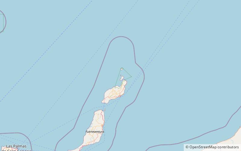
Montaña Clara is a small uninhabited islet belonging to the Chinijo Archipelago, in the northeastern part of the Canary Islands, only a short distance northwest of La Graciosa. The islet area is only 1.33 km2. The highest point of the island is 256 m above sea level. ()
Alternative names: Area: 0.57 mi²Maximum elevation: 840 ftArchipelago: Chinijo ArchipelagoCoordinates: 29°17'53"N, 13°32'6"W
Location
Canary Islands
ContactAdd
Social media
Add
Day trips
Montaña Clara – popular in the area (distance from the attraction)
Nearby attractions include: Chinijo Archipelago, Caleta de Sebo, Las Pardelas Park, Roque del Oeste.


