Roque del Oeste, Haría
Map

Map

Facts and practical information
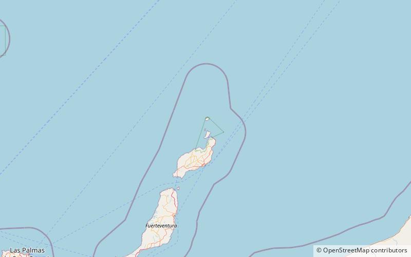
Roque del Oeste, also referred to as Roque del Infierno, is an uninhabited islet located 0.6 km northeast of the island of Montaña Clara, in the northeasternmost part of the Canary Islands, the Chinijo Archipelago. The highest point of the island is 41 m above sea level. The island is part of the nature reserve Los Islotes, which is part of the natural park Chinijo Archipelago. ()
Alternative names: Area: 3.71 acres (0.0058 mi²)Maximum elevation: 135 ftArchipelago: Chinijo ArchipelagoCoordinates: 29°18'40"N, 13°31'37"W
Address
Haría
ContactAdd
Social media
Add
Day trips
Roque del Oeste – popular in the area (distance from the attraction)
Nearby attractions include: Chinijo Archipelago, Caleta de Sebo, Montaña Clara.


