Mount Cobetas, Bilbao
Map
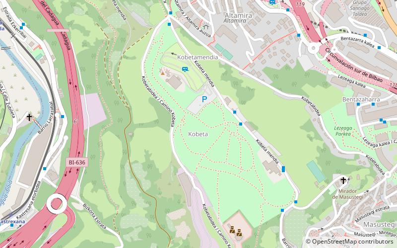
Map

Facts and practical information
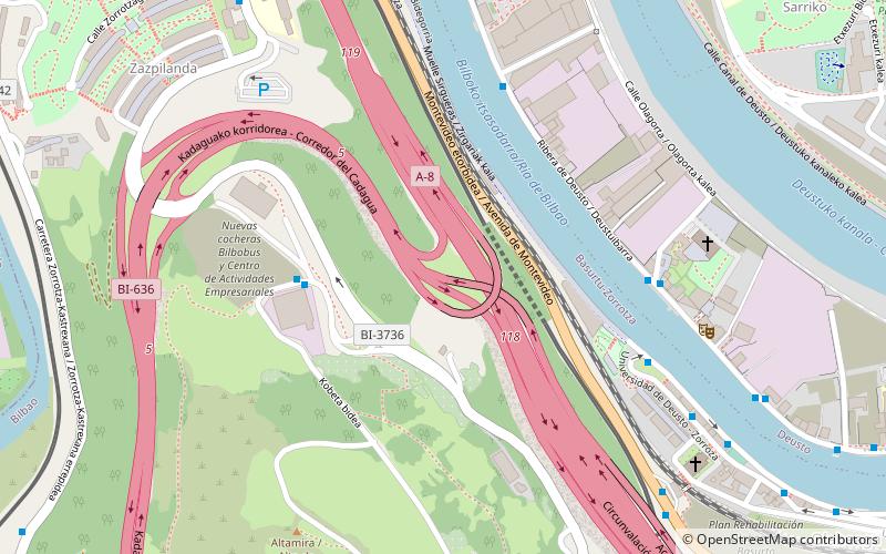
Mount Cobetas is a mountain in the city of Bilbao, Spain. It is located southwest from the city center and stands 205 m high. It raises between the neighborhoods of Altamira and Zorroza, both located in the district Basurto-Zorroza. It was refurbished in 2005 and became the largest park of the city, with an area of 18.5 ha. On the top stands the ruins of the Altamira Fort, used during the Spanish Civil War. ()
Address
Basurto-ZorrotzaBilbao
ContactAdd
Social media
Add
Day trips
Mount Cobetas – popular in the area (distance from the attraction)
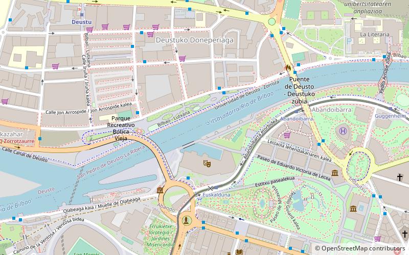
Nearby attractions include: Palacio Euskalduna, Doña Casilda Iturrizar Park, Indautxu, Frank Gehry Bridge.
Frequently Asked Questions (FAQ)
Which popular attractions are close to Mount Cobetas?
Nearby attractions include Basurto-Zorroza, Bilbao (18 min walk), Frank Gehry Bridge, Bilbao (21 min walk).
How to get to Mount Cobetas by public transport?
The nearest stations to Mount Cobetas:
Bus
Train
Tram
Metro
Bus
- Kobeta Mendia 33 • Lines: 58 (3 min walk)
- Kobetabidea 16 • Lines: 58 (6 min walk)
Train
- Kastrexana (12 min walk)
- Santa Águeda (13 min walk)
Tram
- Ospitalea/Hospital • Lines: T1 (17 min walk)
- Basurto • Lines: T1 (20 min walk)
Metro
- Santimami/San Mames • Lines: L1, L2 (23 min walk)
- Indautxu • Lines: L1, L2 (29 min walk)


