Basurto-Zorroza, Bilbao
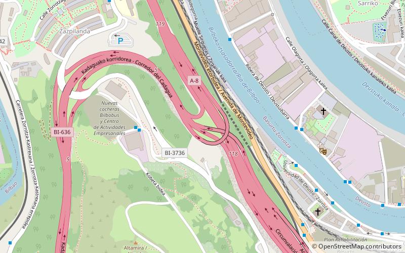
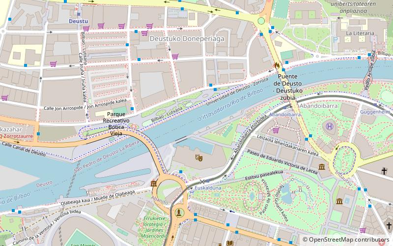
Map
Facts and practical information
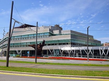
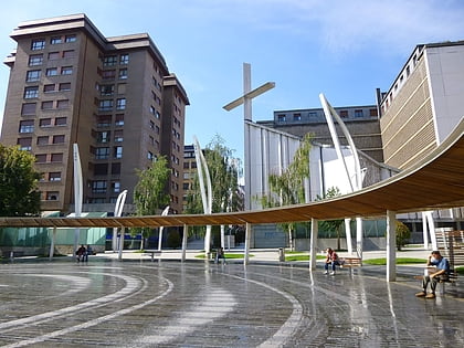
Basurto-Zorroza is the eighth district of the city of Bilbao, in the Spanish Basque Country. It is divided into the neighbourhoods of Altamira, Basurto, Olabeaga, Masustegui-Monte Caramelo and Zorrotza. It is separated from Barakaldo by the river Kadagua. Its area is 7.09 square kilometers and has a population of 31,672 inhabitants. ()
Address
Basurto-Zorrotza (Zorrotza)Bilbao
ContactAdd
Social media
Add
Day trips
Basurto-Zorroza – popular in the area (distance from the attraction)
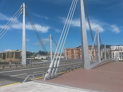
Nearby attractions include: Palacio Euskalduna, Doña Casilda Iturrizar Park, Indautxu, Frank Gehry Bridge.
Frequently Asked Questions (FAQ)
Which popular attractions are close to Basurto-Zorroza?
Nearby attractions include Zorrotzaurre, Bilbao (9 min walk), Frank Gehry Bridge, Bilbao (15 min walk), Mount Cobetas, Bilbao (18 min walk).
How to get to Basurto-Zorroza by public transport?
The nearest stations to Basurto-Zorroza:
Bus
Train
Metro
Tram
Bus
- Kobetabidea 193 / Alto Kastrexana • Lines: 58 (4 min walk)
- Ribera de Deustu 87 • Lines: A4 (6 min walk)
Train
- Santa Águeda (15 min walk)
- Olabeaga (15 min walk)
Metro
- Sarriko • Lines: L1, L2 (15 min walk)
- Deustu • Lines: L1, L2 (22 min walk)
Tram
- Ospitalea/Hospital • Lines: T1 (24 min walk)
- San Mames • Lines: T1 (24 min walk)
