Platja de Massalfassar, Valencia
Map

Map

Facts and practical information
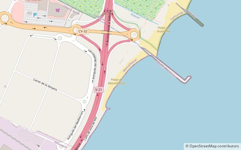
Masalfasar beach is located to the east of the town of Masalfasar and separated from it by the V-21 motorway. It is an isolated beach of small dimensions with hardly any services or facilities. It has, however, a car park with almost 100 parking spaces. The beach is adjacent to the Marjal de Rafalell-Vistabella, a wetland area of great ecological value distributed between the municipalities of Valencia and Masamagrell. The nearest hospital is Sagunto, 20 km away, and the nearest marina is Puebla de Farnals, about 3 km away.
Coordinates: 39°32'57"N, 0°17'48"W
Address
Valencia
ContactAdd
Social media
Add
Day trips
Platja de Massalfassar – popular in the area (distance from the attraction)
Nearby attractions include: Estadi Ciutat de València, Monastery of Santa Maria, La Malvarrosa Beach, Lladró Museum.
Frequently Asked Questions (FAQ)
How to get to Platja de Massalfassar by public transport?
The nearest stations to Platja de Massalfassar:
Train
Train
- Massalfassar (32 min walk)


