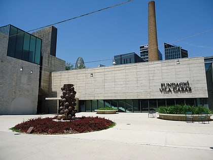
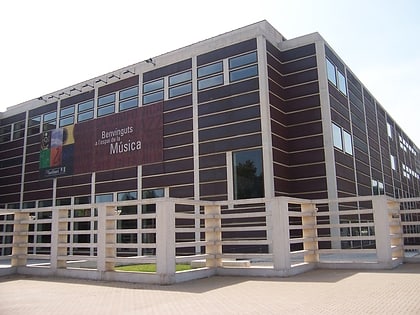
El Poblenou, Barcelona
Map

Gallery
Facts and practical information
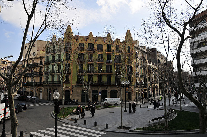
El Poblenou is an extensive neighborhood of Barcelona that borders the Mediterranean Sea to the south, Sant Adrià del Besòs to the east, Parc de la Ciutadella in Ciutat Vella to the west, and Sant Andreu to the north. In the past the neighborhood was a town entirely separated from Barcelona. ()
Address
Sant Marti (El Poblenou)Barcelona
ContactAdd
Social media
Add
Day trips
El Poblenou – popular in the area (distance from the attraction)
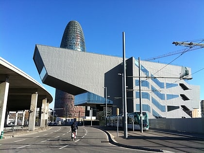
Nearby attractions include: Razzmatazz, Design Museum of Barcelona, Estació del Nord, La Monumental.
Frequently Asked Questions (FAQ)
Which popular attractions are close to El Poblenou?
Nearby attractions include Poblenou Cemetery, Barcelona (10 min walk), Museu Can Framis, Barcelona (11 min walk), Platja de la Mar Bella, Barcelona (14 min walk), El Parc i la Llacuna del Poblenou, Barcelona (14 min walk).
How to get to El Poblenou by public transport?
The nearest stations to El Poblenou:
Bus
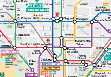
Metro
Tram
Train
Bus
- Llull - Llacuna • Lines: 136, B20, B25, N6 (2 min walk)
- Llacuna - Ramon Turró • Lines: 6 (4 min walk)
Metro
- Llacuna • Lines: L4 (6 min walk)
- Poblenou • Lines: L4 (6 min walk)
Tram
- Pere IV • Lines: T4 (11 min walk)
- Fluvià • Lines: T4 (14 min walk)
Train
- El Clot-Aragó (25 min walk)
- Barcelona - Estació de França (36 min walk)

 Metro
Metro