Puig Estela

Gallery (1)
Map
Map
Facts and practical information
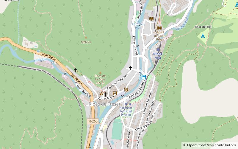
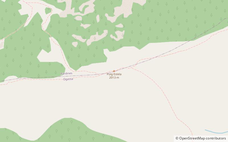
Puig Estela is a mountain of Catalonia, Spain. It has an elevation of 2,013 metres above sea level. between the villages of Ogassa and Pardines. ()
Elevation: 6604 ftCoordinates: 42°17'3"N, 2°15'14"E
Location
Catalonia
ContactAdd
Social media
Add
Day trips