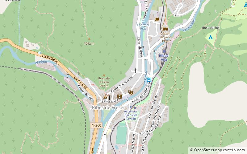
Vall de Ribes, Ribes de Freser

Map
Facts and practical information
The Vall de Ribes is a geographic zone in the northwest of the Ripollès in the valley of the river Freser. Its largest municipality is Ribes de Freser. It also contains the municipalities of Queralbs, Toses, Planoles, Pardines and Campelles, and the sanctuary and resort of Vall de Núria. ()
Coordinates: 42°18'26"N, 2°10'8"E
Address
Ribes de Freser
ContactAdd
Social media
Add
Day trips
Vall de Ribes – popular in the area (distance from the attraction)
Nearby attractions include: Puigmal, Balandrau, Puig Estela, Cim de Pla de Pujalts.


