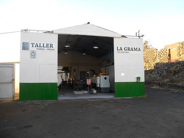
Carretera de la Grama, Los Cancajos
Gallery (1)
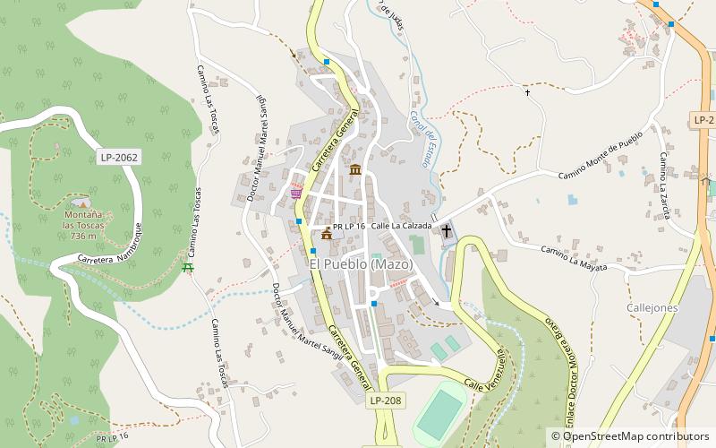
Map
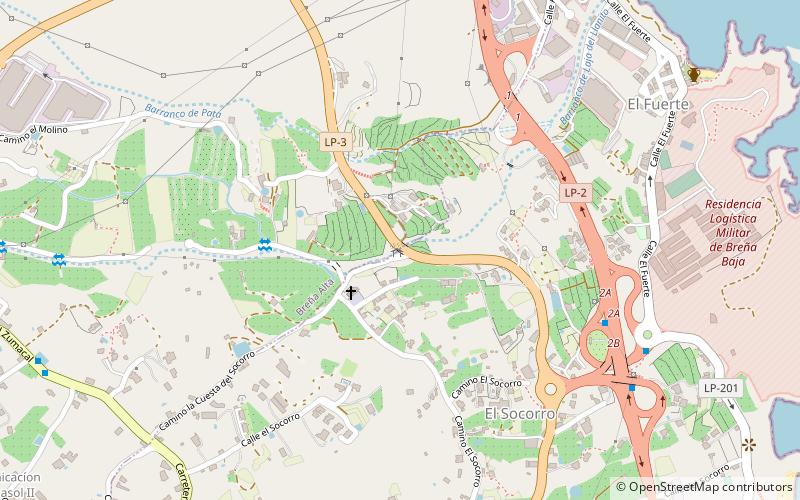
Map
Facts and practical information
Carretera de la Grama is a place located in Los Cancajos (Canary Islands autonomous community) and belongs to the category of bridge.
It is situated at an altitude of 427 feet, and its geographical coordinates are 28°39'31"N latitude and 17°46'12"W longitude.
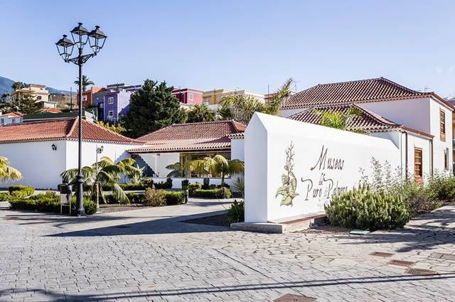
Among other places and attractions worth visiting in the area are: Iglesia de San José (church, 25 min walk), Breña Baja (locality, 31 min walk), Museo del Puro Palmero, Breña Alta (specialty museum, 31 min walk).
Coordinates: 28°39'31"N, 17°46'12"W
Address
Los Cancajos
ContactAdd
Social media
Add
Day trips