Comillas, Madrid
Map
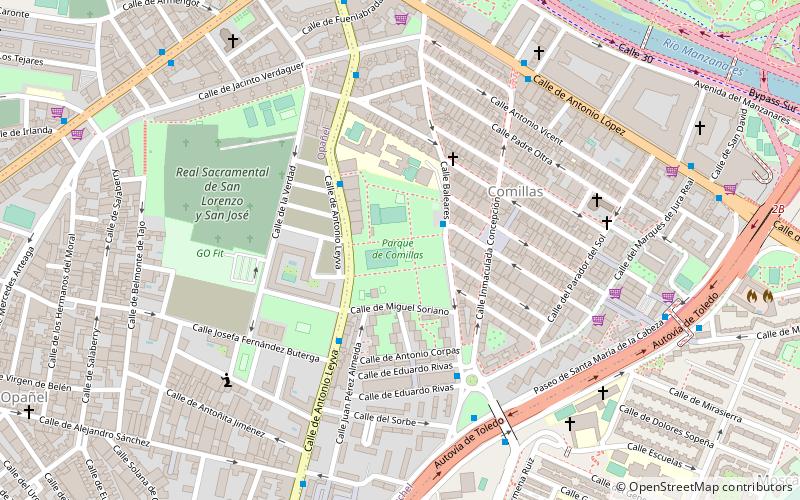
Map

Facts and practical information
Comillas is an administrative neighborhood of Madrid belonging to the district of Carabanchel. It is 0.665999 km² in size. With a perimeter of 4,257 m, it is limited by the A-42/paseo de Santa María de la Cabeza, the Antonio de Leyva Street and the Manzanares. ()
Alternative names: Area: 164.57 acres (0.2571 mi²)Elevation: 1969 ft a.s.l.Coordinates: 40°23'34"N, 3°42'51"W
Address
C. Antonio de LeyvaUsera (Comillas)Madrid 28019
ContactAdd
Social media
Add
Day trips
Comillas – popular in the area (distance from the attraction)
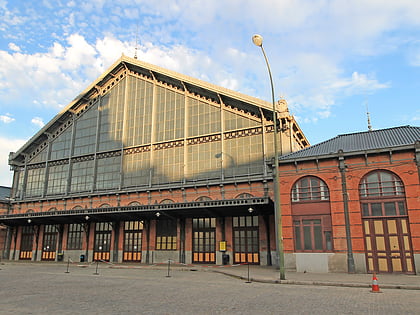
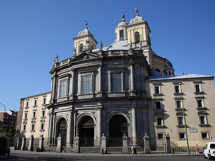
Nearby attractions include: El Rastro, Estadio Vicente Calderón, Museo del Ferrocarril, Royal Basilica of Saint Francis the Great.
Frequently Asked Questions (FAQ)
Which popular attractions are close to Comillas?
Nearby attractions include Puente de Toledo, Madrid (12 min walk), British Cemetery, Madrid (13 min walk), Praga Bridge, Madrid (14 min walk), Arganzuela Footbridge, Madrid (14 min walk).
How to get to Comillas by public transport?
The nearest stations to Comillas:
Bus
Metro
Train
Bus
- Baleares - Fernan Caballero • Lines: 116 (2 min walk)
- Antonio Leyva - Navahonda • Lines: 116 (4 min walk)
Metro
- Marqués de Vadillo • Lines: L5 (9 min walk)
- Plaza Elíptica • Lines: L11, L6 (15 min walk)
Train
- Pirámides (18 min walk)
- Embajadores (27 min walk)

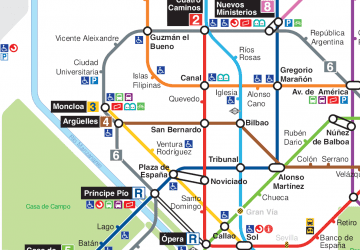 Metro
Metro

