Carabanchel, Madrid
Map
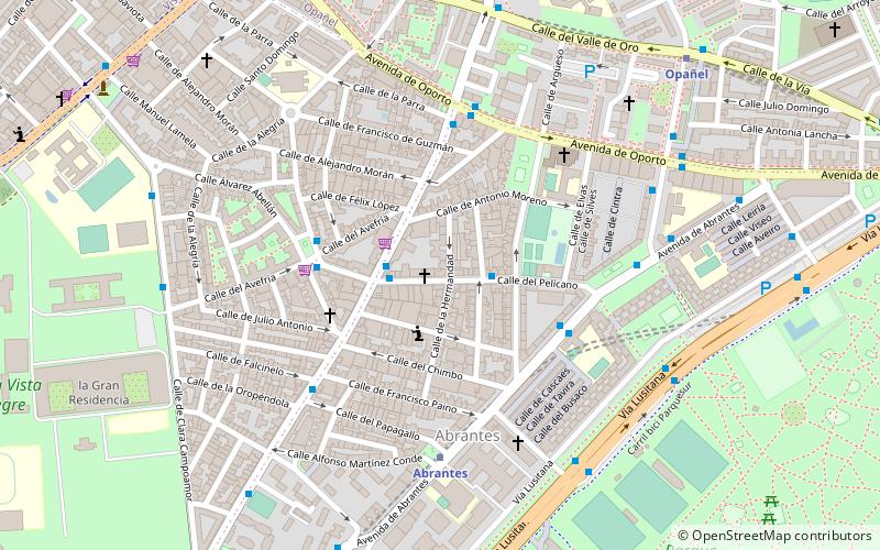
Map

Facts and practical information
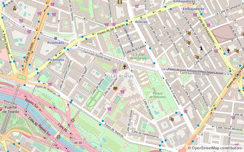
Carabanchel is a district of Madrid, Spain. It lies on the southern bank of the Manzanares, spanning southward down to the M-40 ring road. The district is made up of the neighbourhoods of Abrantes, Comillas, Opañel, Puerta Bonita, San Isidro and Vista Alegre. ()
Address
Carabanchel (Abrantes)Madrid
ContactAdd
Social media
Add
Day trips
Carabanchel – popular in the area (distance from the attraction)
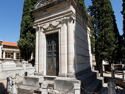
Nearby attractions include: Estadio Vicente Calderón, Palacio Vistalegre, Puente de Toledo, Saint Isidore Cemetery.
Frequently Asked Questions (FAQ)
Which popular attractions are close to Carabanchel?
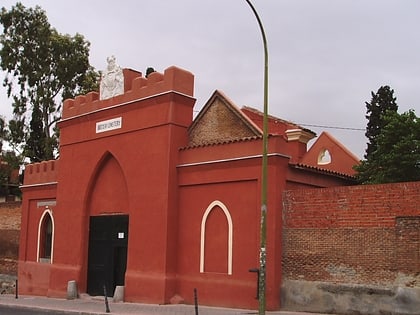
Nearby attractions include Farmacia - Calle Valle de Oro 7, Madrid (8 min walk), Palacio Vistalegre, Madrid (16 min walk), British Cemetery, Madrid (22 min walk), San Isidro, Madrid (24 min walk).
How to get to Carabanchel by public transport?
The nearest stations to Carabanchel:
Bus
Metro
Train
Bus
- Pelícano - Cº Viejo Leganés • Lines: 247 (2 min walk)
- Cº Viejo Leganés - Pelícano • Lines: 118, 247, N16 (2 min walk)
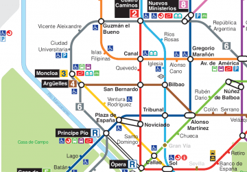
Metro
- Abrantes • Lines: L11 (5 min walk)
- Opañel • Lines: L6 (9 min walk)
Train
- Laguna (36 min walk)
 Metro
Metro


