Serra de Tramuntana, Majorca
Map

Map

Facts and practical information
The Serra de Tramuntana is a mountain range running southwest–northeast which forms the northern backbone of the Spanish island of Mallorca. It is also the name given to the comarca of the same area. On 27 June 2011, the Tramuntana Range was awarded World Heritage Status by UNESCO as an area of great physical and cultural significance. ()
Address
Majorca
ContactAdd
Social media
Add
Day trips
Serra de Tramuntana – popular in the area (distance from the attraction)
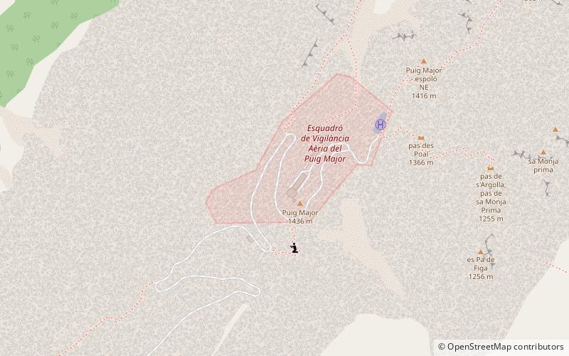
Nearby attractions include: Puig Major, Puig de Sant Miquel, Spiral bridge, Puig de Massanella.
Frequently Asked Questions (FAQ)
Which popular attractions are close to Serra de Tramuntana?
Nearby attractions include Puig Major, Majorca (2 min walk), Puig de Massanella, Majorca (17 min walk).
How to get to Serra de Tramuntana by public transport?
The nearest stations to Serra de Tramuntana:
Bus
Bus
- Base militar del Puig Major • Lines: 354 (26 min walk)
- Gorg Blau • Lines: 354 (28 min walk)


