Els Cornadors, Majorca

Gallery (1)
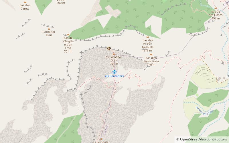
Map
Map
Facts and practical information
Els Cornadors is a mountain range in Majorca in the municipality of Sóller. ()
Coordinates: 39°45'32"N, 2°44'51"E
Address
Majorca
ContactAdd
Social media
Add
Getting there by public transportation
Public transportation stops near this location
- Bus
 Bus
Bus
- Calculate routel'Horta de Biniaraix 35 min walk
Day trips


Frequently Asked Questions (FAQ)
How to get to Els Cornadors by public transport?
The nearest stations to Els Cornadors:
Bus
Bus
- l'Horta de Biniaraix • Lines: 232 (35 min walk)