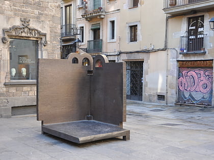
Carrer de Bergara, Barcelona
Map

Map

Facts and practical information
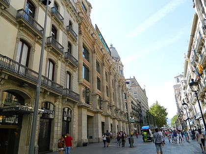
Carrer de Bergara is a short street in central Barcelona, stretching from Plaça Catalunya towards Carrer de Pelai. It's in the Eixample district. It's named after the Basque city of Bergara, where an armistice was signed at the end the First Carlist War in 1839. The name of the street was approved in 1900. The street is home to a number of restaurants, cafes, and hotels. ()
Coordinates: 41°23'8"N, 2°10'27"E
Address
Ciutat Vella (El Barri Gòtic)Barcelona
ContactAdd
Social media
Add
Day trips
Carrer de Bergara – popular in the area (distance from the attraction)
Nearby attractions include: Portal de l'Àngel, Palau de la Música Catalana, Barcelona Cathedral, Palau de la Generalitat de Catalunya.
Frequently Asked Questions (FAQ)
Which popular attractions are close to Carrer de Bergara?
Nearby attractions include Palau Reial Major, Barcelona (2 min walk), Museu Diocesà, Barcelona (4 min walk), Cercle Artístic de Sant Lluc, Barcelona (4 min walk), Church of Saint Philip Neri, Barcelona (4 min walk).
How to get to Carrer de Bergara by public transport?
The nearest stations to Carrer de Bergara:
Bus
Metro
Train
Tram
Ferry
Bus
- Via Laietana - Comtal • Lines: 47, N28, N8, V15, V17 (3 min walk)
- Via Laietana - Pl Ramon Berenguer • Lines: 120, 47, N28, N8, V15, V17 (5 min walk)
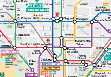
Metro
- Urquinaona • Lines: L1, L4 (6 min walk)
- Jaume I • Lines: L4 (7 min walk)
Train
- Barcelona - Plaça Catalunya (8 min walk)
- Barcelona - Estació de França (16 min walk)
Tram
- Wellington • Lines: T4 (21 min walk)
- Marina • Lines: T4 (23 min walk)
Ferry
- Puerto de Barcelona (22 min walk)
- Barcelona (24 min walk)

 Metro
Metro