Sima de Alcorón

Gallery (1)
Map
Map
Facts and practical information
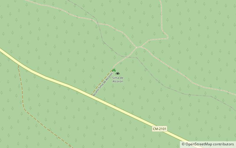
La sima de Alcorón is a chasm located in the Alto Tajo natural park and within the municipality of Villanueva de Alcorón.
Coordinates: 40°41'16"N, 2°10'41"W
Location
Castilla-La Mancha
ContactAdd
Social media
Add
Day trips
Sima de Alcorón – popular in the area (distance from the attraction)
Nearby attractions include: Zaorejas.
