Sant Pere de Montgrony
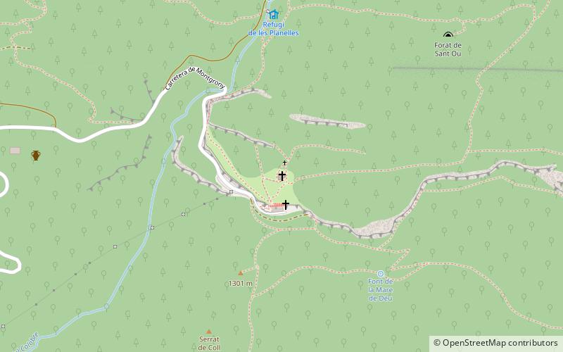
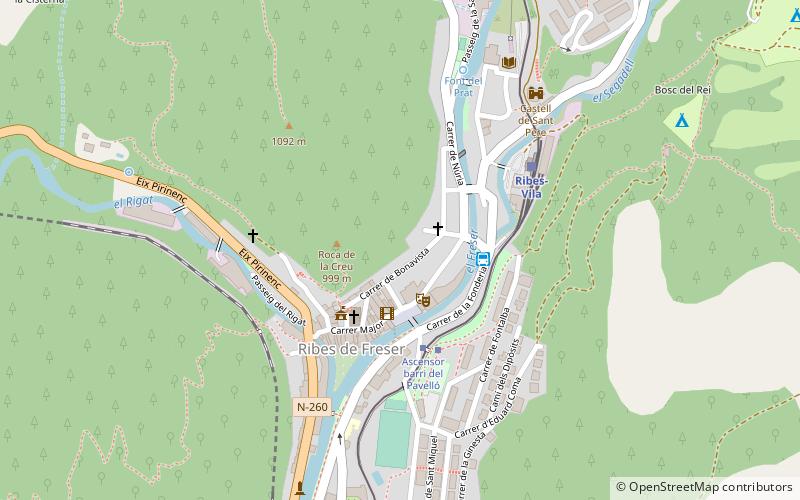
Map

Map

Facts and practical information
Sant Pere de Montgrony is a place located in Spain and belongs to the category of church.
It is situated at an altitude of 4590 feet, and its geographical coordinates are 42°15'59"N latitude and 2°5'9"E longitude.
Among other places and attractions worth visiting in the area are: Castell de Mataplana (forts and castles, 34 min walk), Cim de Pla de Pujalts (nature, 35 min walk), Sant Vicenç de RusCadí-Moixeró Natural Park (church, 123 min walk).
Architectural style: Romanesque architectureCoordinates: 42°15'59"N, 2°5'9"E
Location
Catalonia
ContactAdd
Social media
Add
Day trips
Sant Pere de Montgrony – popular in the area (distance from the attraction)
Nearby attractions include: Santa Maria de Ripoll, Vall de Ribes, Cim de Pla de Pujalts, Museu Etnogràfic.


