Muñogalindo
Map
![Muñogalindo location map](https://tzmedia.b-cdn.net/media/images/static-maps/es/40_6025_-4_89823.jpg)
Map
![Muñogalindo location map](https://tzmedia.b-cdn.net/media/images/static-maps/es/40_6025_-4_89823.jpg)
Facts and practical information
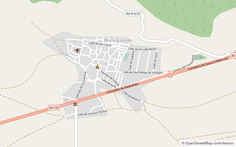
Muñogalindo is a municipality located in the province of Ávila, Castile and León, Spain. According to the 2006 census, the municipality has a population of 423 inhabitants. ()
Location
Castile and León
ContactAdd
Social media
Add
Day trips
Muñogalindo – popular in the area (distance from the attraction)
Nearby attractions include: Cerro de Gorría, Sierra de Ávila, Castillo de Villaviciosa, Verraco.