Perales de Tajuña
Map

Map

Facts and practical information
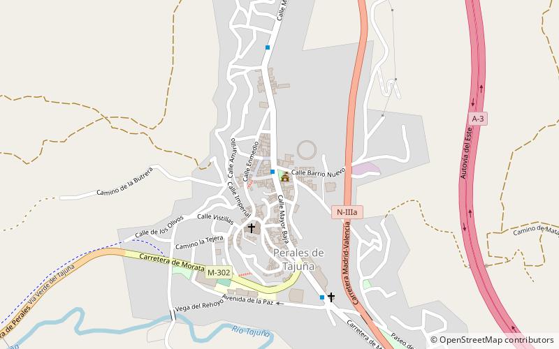
Perales de Tajuña is a town and municipality of Spain located in the Community of Madrid. It is about 40 km to the southeast of Madrid in the area known as the Comarca de Las Vegas. The municipality covers 48.92 km,2 and it has a population of 2,738 inhabitants and a population density of 55.97 inhabitants/km2. To the north it borders with Arganda del Rey and Campo Real, to the east with Tielmes, to the south with Villarejo de Salvanés, and to the west with Morata de Tajuña and Valdelaguna. ()
Location
Madrid
ContactAdd
Social media
Add
Day trips
Perales de Tajuña – popular in the area (distance from the attraction)
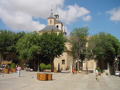
Nearby attractions include: Church of San Juan Bautista, Castillo de Villarejo de Salvanés, Plaza del Ayuntamiento, Morata de Tajuña.


