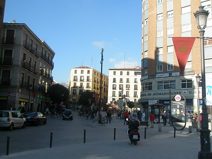
Calle de Atocha, Madrid
Map
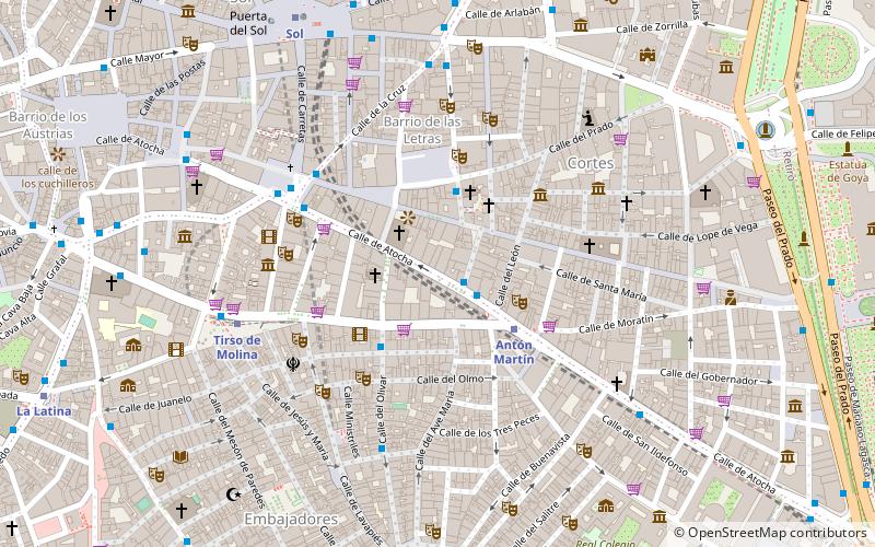
Map

Facts and practical information
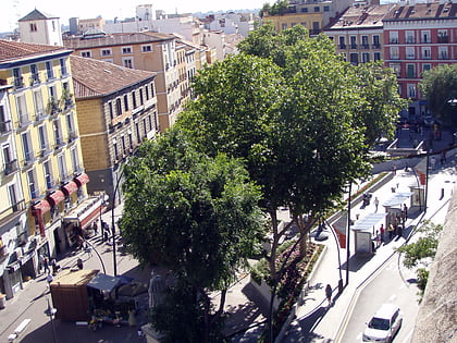
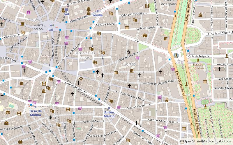
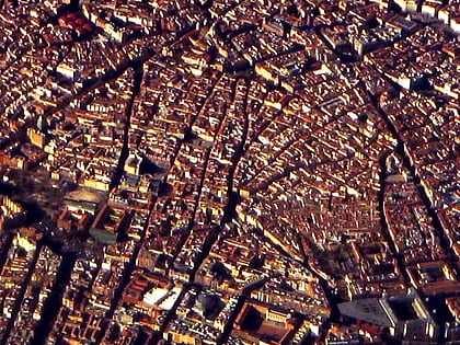
The Calle de Atocha is a street in Madrid, Spain. It constitutes a major axis within the Centro District. ()
Address
Centro Madrid (Cortes)Madrid
ContactAdd
Social media
Add
Day trips
Calle de Atocha – popular in the area (distance from the attraction)
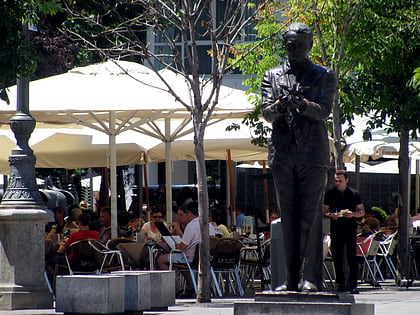
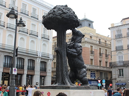
Nearby attractions include: Puerta del Sol, Lavapiés, Monument to Federico García Lorca, Statue of the Bear and the Strawberry Tree.
Frequently Asked Questions (FAQ)
Which popular attractions are close to Calle de Atocha?
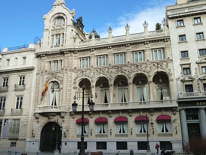
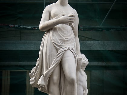
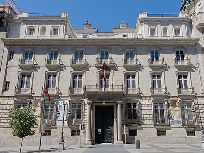
Nearby attractions include St Sebastian's Church, Madrid (2 min walk), Palace of Santoña, Madrid (2 min walk), El abrazo, Madrid (3 min walk), Teatro Monumental, Madrid (3 min walk).
How to get to Calle de Atocha by public transport?
The nearest stations to Calle de Atocha:
Bus
Metro
Train
Bus
- Pza. Matute - Atocha • Lines: M1 (1 min walk)
- Atocha - León • Lines: 26, 32, 6, N26 (2 min walk)
Metro
- Antón Martín • Lines: L1 (3 min walk)
- Tirso de Molina • Lines: L1 (6 min walk)
Train
- Sol (9 min walk)
- Embajadores (15 min walk)

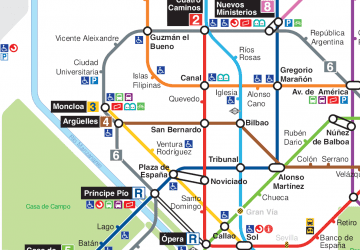 Metro
Metro

