Centro, Madrid
Map
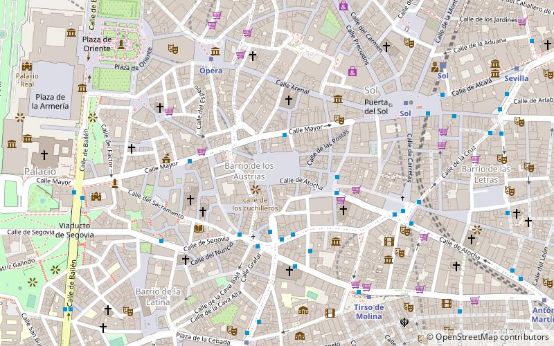
Map

Facts and practical information
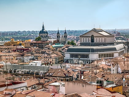
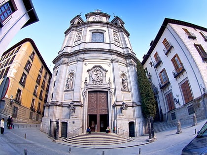
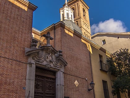
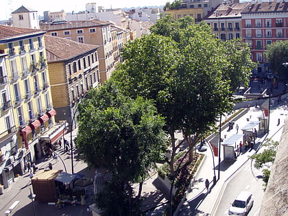
Centro is a district of Madrid, Spain. It is approximately 5.23 km2 in size. It has a population of 149,718 people and a population density of 28,587/km2. It roughly corresponds to the bulk of the housing formerly enclosed by the so-called Walls of Philip IV. The district is made up of the neighbourhoods of Cortes, Embajadores, Justicia, Universidad, Palacio and Sol. ()
Address
Centro Madrid (Sol)Madrid
ContactAdd
Social media
Add
Day trips
Centro – popular in the area (distance from the attraction)
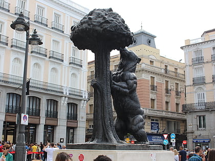
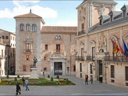
Nearby attractions include: Plaza Mayor, Puerta del Sol, Mercado de San Miguel, Statue of the Bear and the Strawberry Tree.
Frequently Asked Questions (FAQ)
Which popular attractions are close to Centro?
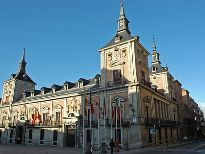
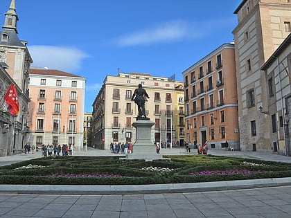
Nearby attractions include Plaza Mayor, Madrid (1 min walk), Casa de la Panadería, Madrid (2 min walk), El Madrid de los Austrias, Madrid (2 min walk), Santa Cruz Palace, Madrid (3 min walk).
How to get to Centro by public transport?
The nearest stations to Centro:
Bus
Metro
Train
Bus
- Toledo Nº 24 • Lines: N26 (3 min walk)
- Atocha - Pza. Santa Cruz • Lines: 50 (3 min walk)
Metro
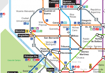
- Ópera • Lines: L2, L5, R (6 min walk)
- Sol • Lines: L1, L2, L3 (6 min walk)
Train
- Sol (9 min walk)
- Príncipe Pío (19 min walk)

 Metro
Metro


