Cerro del Lucero, Sierras of Tejeda

Gallery (1)
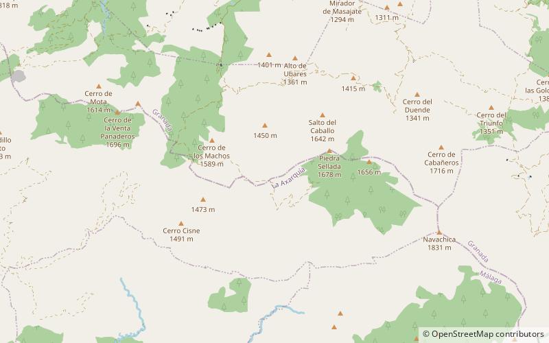
Map
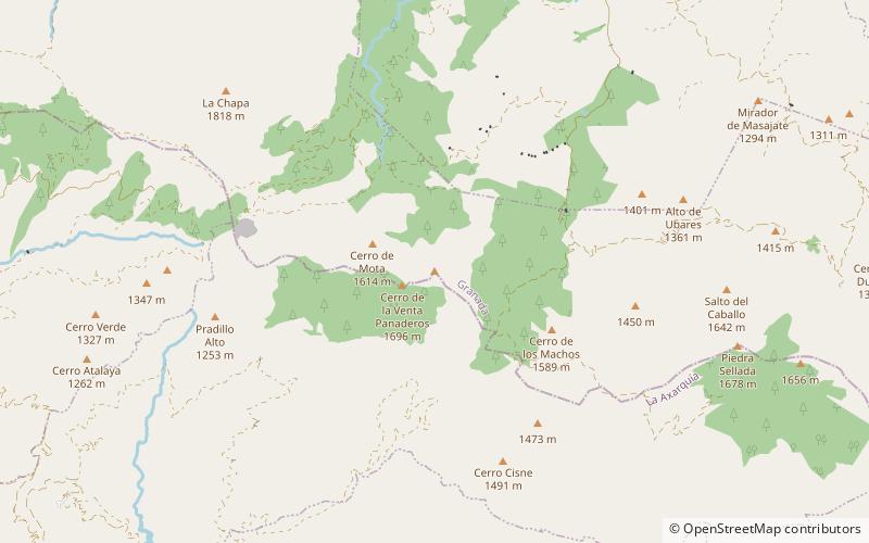
Map
Facts and practical information
The Cerro del Lucero, also known as El Lucero, Raspón de los Moriscos or Cerro de los Moriscos, is a mountain in the Alhama de Granada municipality of the Province of Granada in southern Spain, in the Sierra Almijara. ()
Coordinates: 36°52'3"N, 3°53'26"W
Address
Sierras of Tejeda
ContactAdd
Social media
Add
Day trips