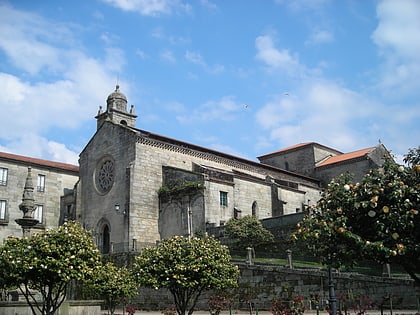
The Portuguese Way, Pontevedra
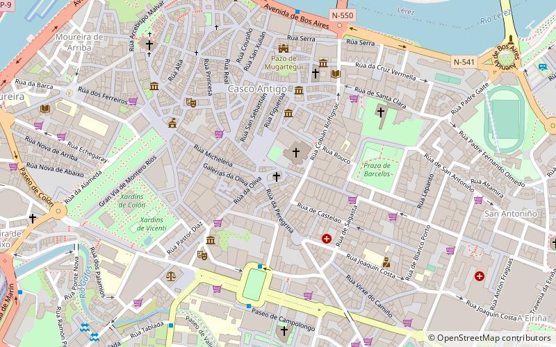
Map
Facts and practical information
The Portuguese Way is the name of the Camino de Santiago pilgrimage routes starting in Portugal. It begins at Porto or Lisbon. From Porto, along the Douro River, pilgrims travel north crossing the five main rivers—the Ave, Cávado, Neiva, Lima and Minho—before entering Spain and passing through Pontevedra on the way to Santiago de Compostela. ()
Address
Pontevedra
ContactAdd
Social media
Add
Day trips
The Portuguese Way – popular in the area (distance from the attraction)
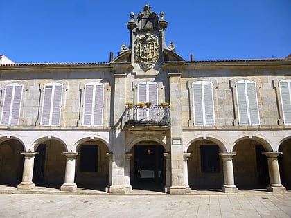
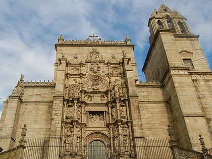
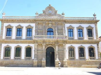
Nearby attractions include: Pazo de Mugartegui, Basilica of Saint Mary Major, Pontevedra City Hall, Plaza de la Herrería.
Frequently Asked Questions (FAQ)
Which popular attractions are close to The Portuguese Way?
Nearby attractions include Church of the Pilgrim Virgin, Pontevedra (1 min walk), Capilla de la Peregrina, Pontevedra (1 min walk), Plaza de la Herrería, Pontevedra (1 min walk), Convent and church of San Francisco, Pontevedra (2 min walk).
How to get to The Portuguese Way by public transport?
The nearest stations to The Portuguese Way:
Bus
Train
Bus
- Avenida Buenos Aires - Frente 6 • Lines: 6 (7 min walk)
- Xunta • Lines: 6, 814, Pontevedra - O Grove (10 min walk)
Train
- Pontevedra (20 min walk)
- Pontevedra-Universidade (23 min walk)
