Cerro del Villar, Málaga
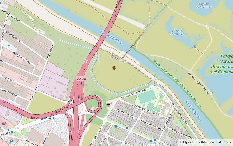
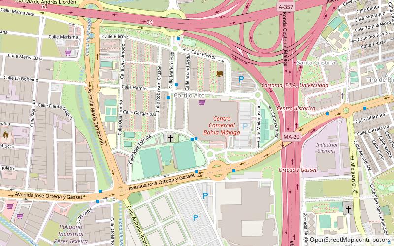
Map
Facts and practical information
Cerro del Villar, located in the mouth of Guadalhorce river, southern Spain, was a Phoenician city founded in the ninth century BC. It was abandoned possibly in 584 BC. Since 2003, there have not been any archeological excavations. Previous excavations were directed by María Eugenia Aubet. ()
Address
Churriana (Los Chochales)Málaga
ContactAdd
Social media
Add
Day trips
Cerro del Villar – popular in the area (distance from the attraction)
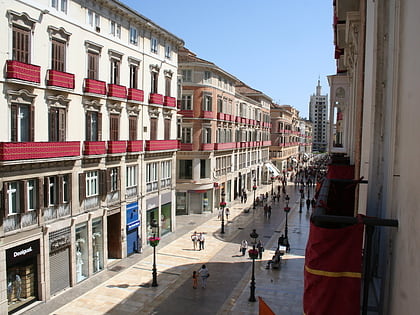
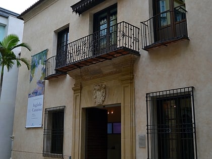
Nearby attractions include: Calle Marqués de Larios, Málaga Cathedral, Aqualand, Museo Carmen Thyssen.
Frequently Asked Questions (FAQ)
How to get to Cerro del Villar by public transport?
The nearest stations to Cerro del Villar:
Bus
Metro
Train
Bus
- Manuel Curros Enríquez - Carretera de Guadalmar • Lines: 5, N5 (6 min walk)
- Camino Loma de San Julián - Centro Comercial • Lines: 5, N5 (9 min walk)
Metro
- Palacio de los Deportes • Lines: L2 (25 min walk)
Train
- Plaza Mayor (36 min walk)
