Costa de Almería, Almería
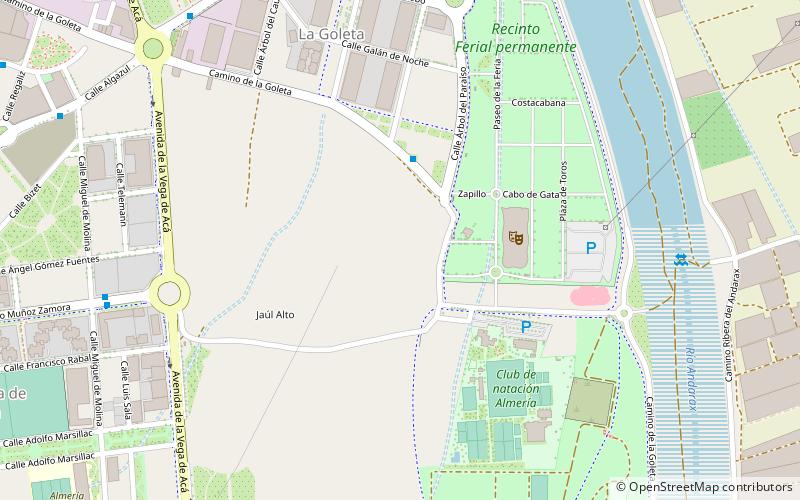
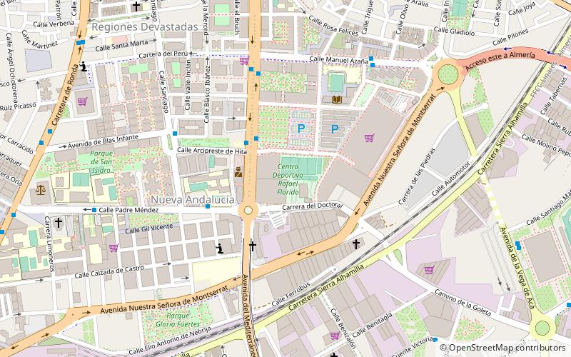
Map
Facts and practical information
The Costa de Almería is a coastal region of Spain consisting of the coastal municipalities of the province of Almería, in the autonomous community of Andalusia, Spain. The region extends 217 kilometres and includes 13 municipalities, from Pulpí on the border with the province of Murcia to Adra on the border with the province of Granada. ()
Address
Almería
ContactAdd
Social media
Add
Day trips
Costa de Almería – popular in the area (distance from the attraction)
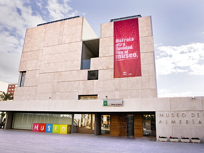
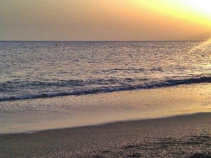
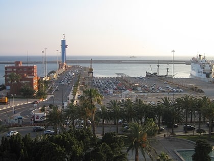
Nearby attractions include: Museum of Almería, Playa de San Miguel, Port of Almeria, Estadio de los Juegos Mediterráneos.
Frequently Asked Questions (FAQ)
Which popular attractions are close to Costa de Almería?
Nearby attractions include Parque Periurbano del Andarax, Almería (19 min walk), Port of Almeria, Almería (24 min walk).
How to get to Costa de Almería by public transport?
The nearest stations to Costa de Almería:
Bus
Bus
- Árbol de la Seda • Lines: L7 (7 min walk)
- Antonio Muñoz Zamora • Lines: L7 (10 min walk)
