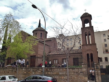
Ciudad Jardín, Madrid
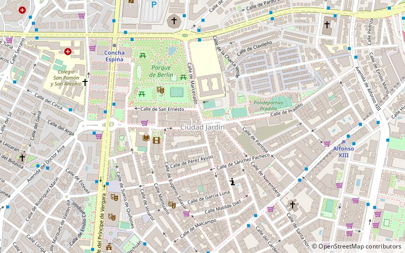
Map
Facts and practical information
Ciudad Jardín is a neighborhood of the Chamartín district, situated in the northeast part of the city of Madrid and adjacent to the Salamanca district. It is located between Calle Príncipe de Vergara, Avenida Ramón y Cajal and Calle López de Hoyos, the latter being one of the longest streets in the city and well known for its great commercial activity. ()
Address
Chamartín (Ciudad Jardín)Madrid
ContactAdd
Social media
Add
Day trips
Ciudad Jardín – popular in the area (distance from the attraction)
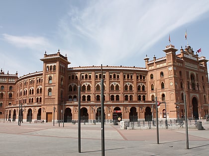
Nearby attractions include: Museo Nacional de Ciencias Naturales, Las Ventas, Santiago Bernabéu Stadium, Castellana 81.
Frequently Asked Questions (FAQ)
Which popular attractions are close to Ciudad Jardín?
Nearby attractions include Berlin Park, Madrid (4 min walk), National Auditorium of Music, Madrid (7 min walk), Hispanoamérica, Madrid (13 min walk), Museum of Lázaro Galdiano, Madrid (14 min walk).
How to get to Ciudad Jardín by public transport?
The nearest stations to Ciudad Jardín:
Bus
Metro
Train
Bus
- Av. Ramón y Cajal - Víctor de la Serna • Lines: 120, 43 (6 min walk)
- Príncipe de Vergara - Pza. Cataluña • Lines: 16, 29, 52, N1 (6 min walk)
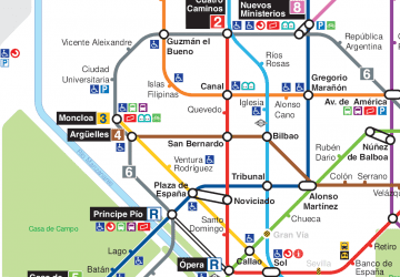
Metro
- Concha Espina • Lines: L9 (7 min walk)
- Alfonso XIII • Lines: L4 (9 min walk)
Train
- Nuevos Ministerios (26 min walk)
 Metro
Metro
