Mannar Island
Map

Map

Facts and practical information
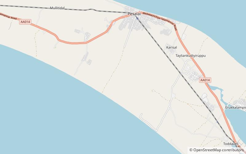
Mannar Island, formerly spelt Manar Island, which lies off the north-western coast of Sri Lanka, is part of Mannar District, Sri Lanka. It is linked to the main island of Sri Lanka by a causeway and the Mannar Bridge, which carries the A14 highway, and a railway bridge. It has an area of about 130 square kilometres, mainly covered with vegetation and sand. ()
Location
Mannar
ContactAdd
Social media
Add
