Kadadora Vihara
Map

Map

Facts and practical information
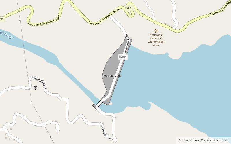
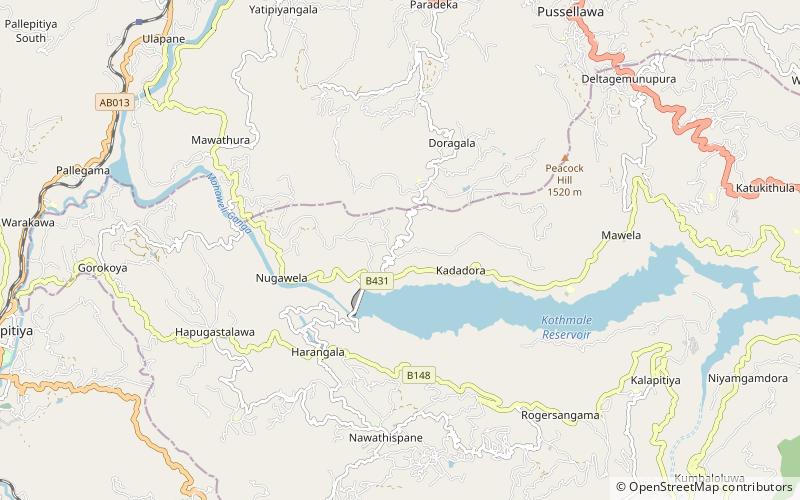
Kadadora Vihara was a Buddhist temple, situated in Kadadora, Nuwara Eliya District, Sri Lanka. The temple was abandoned and ruined as the construction of Kotmale Dam in 1979 by Mahaweli Development programme. The ruins of Vihara still can be seen when the water level of Kotmale Reservoir is low, but the sight is very rare. ()
Local name: කඩදොර විහාරයCoordinates: 7°3'39"N, 80°35'50"E
Location
Nuwara Eliya
ContactAdd
Social media
Add
Day trips
Kadadora Vihara – popular in the area (distance from the attraction)
Nearby attractions include: Kotmale Mahaweli Maha Seya, Pusulpitiya Raja Maha Vihara.


