Pusulpitiya Raja Maha Vihara

Gallery (2)
Map
Map
Gallery
Facts and practical information
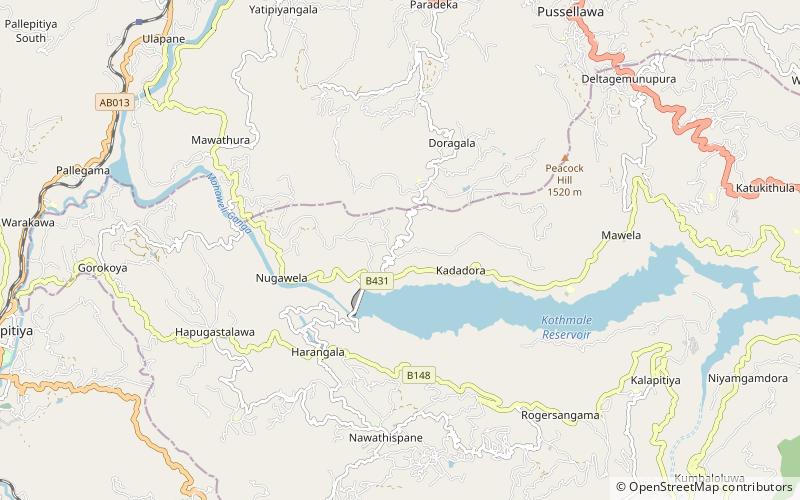
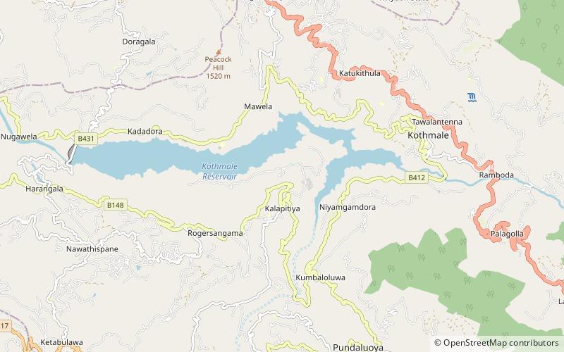
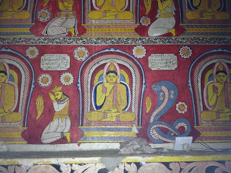
Pusulpitiya Raja Maha Vihara is an ancient Buddhist temple which is located in Pusulpitiya village, Nuwara Eliya District, Sri Lanka. It is situated in Kotmale about 3 miles from Morape on the banks of the Kotmale Oya. Currently this temple has been recognized as an archaeological protected site in Sri Lanka. ()
Local name: පුසුල්පිටිය රජ මහා විහාරයCoordinates: 7°3'19"N, 80°38'54"E
Location
Nuwara Eliya
ContactAdd
Social media
Add
Day trips