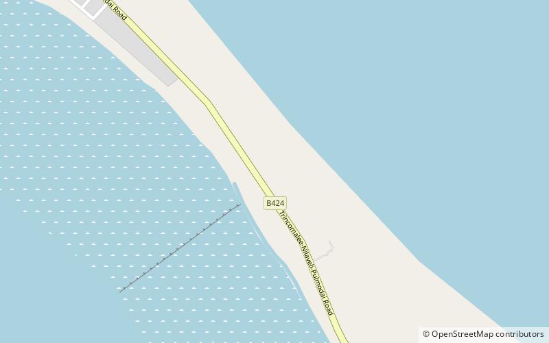
Mullaitivu fort
Map

Map

Facts and practical information
Mullaitivu fort was built by the Dutch in Mullaitivu, Sri Lanka. The original fort, a small wooden structure with palisades and earth, was erected in 1715. In 1721 the Dutch constructed a quadrangular fort on the site. The fort was initially erected to control the unauthorised commerce between the Chetties and the Kingdom of Kandy, it subsequently formed part of a strategic defence of Dutch territory against the Vannimai. ()
Local name: මුලතිවු බලකොටුවBuilt: 1715 (311 years ago)Coordinates: 8°46'23"N, 81°8'3"E
Location
Trincomalee
ContactAdd
Social media
Add
Day trips
Mullaitivu fort – popular in the area (distance from the attraction)
Nearby attractions include: Pigeon Island National Park, Nilaveli.


