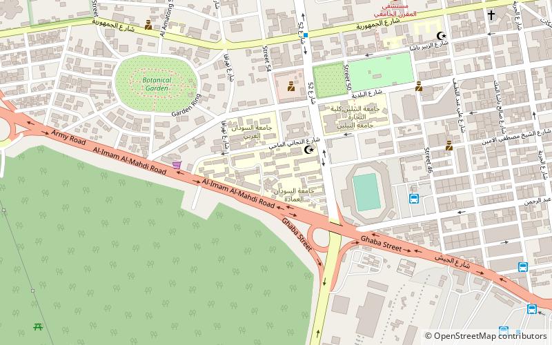
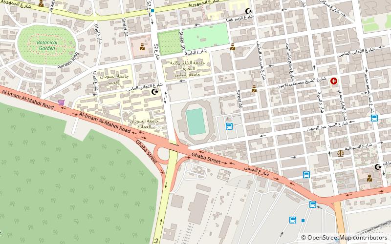
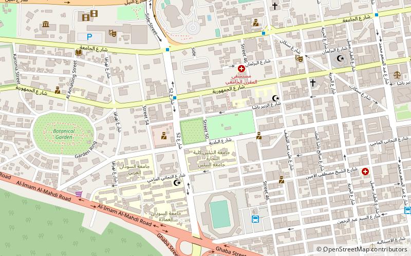
Al Mogran, Khartoum
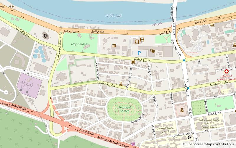
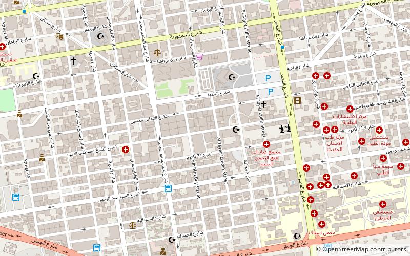
Map
Facts and practical information
The Al-Mogran Development Project is an over $4 billion development project undertaken by the Alsunut Development Company that seeks to develop several thousand acres in downtown Khartoum along the spot where the White Nile and Blue Nile merge to form the Nile. The discovery of oil in Sudan has provided the Sudanese government with a billion dollar surplus that allows the funding of this project. ()
Coordinates: 15°36'15"N, 32°30'31"E
Address
Khartoum
ContactAdd
Social media
Add
Day trips
Al Mogran – popular in the area (distance from the attraction)
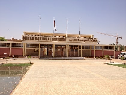
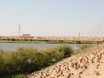
Nearby attractions include: National Museum of Sudan, Souq al Arabi, Tuti Bridge, Omdurman Bridge.
Frequently Asked Questions (FAQ)
Which popular attractions are close to Al Mogran?
Nearby attractions include National Museum of Sudan, Khartoum (4 min walk), Aksha, Khartoum (5 min walk), Tuti Bridge, Khartoum (10 min walk), Sudan University of Science and Technology, Khartoum (12 min walk).
How to get to Al Mogran by public transport?
The nearest stations to Al Mogran:
Bus
Bus
- موقف الاستاد (18 min walk)
- موقف جاكسون (26 min walk)
