Khartoum Stadium, Khartoum
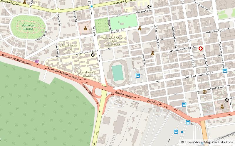
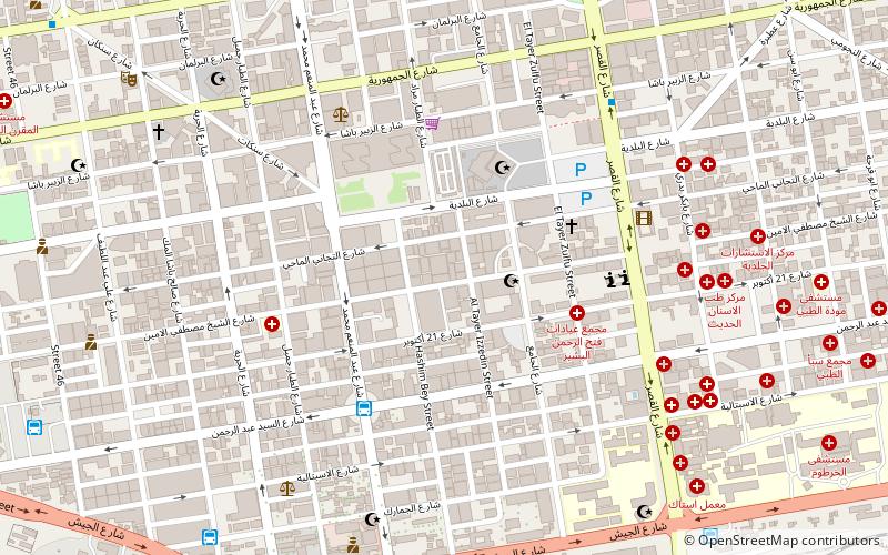
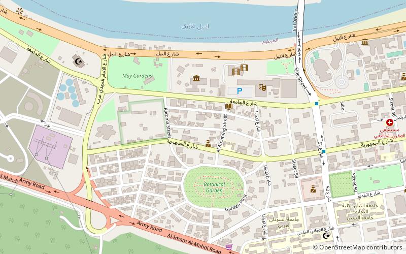
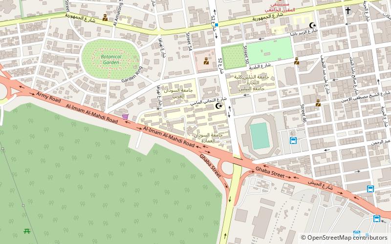
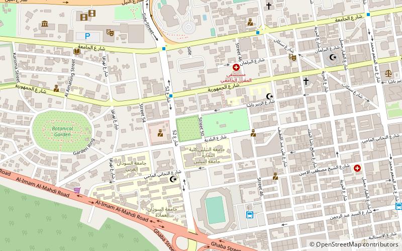
Map
Facts and practical information
The Khartoum International Stadium is a multi-purpose stadium in Khartoum, Sudan. It is currently used mostly for football matches. The stadium has a capacity of 23,000 people. It is also the home stadium of the Sudanese national football team and of the club Al Ahli SC Khartoum. In 2010, it was renovated for the 2011 African cup of nations championships. ()
Local name: ملعب الخرطوم Opened: 1957 (69 years ago)Capacity: 23 thous.Coordinates: 15°35'54"N, 32°30'56"E
Address
Khartoum
ContactAdd
Social media
Add
Getting there by public transportation
Public transportation stops near this location
- Bus
- Train
 Bus
Bus
- Calculate routeموقف الاستاد 3 min walk
- Calculate routeموقف جاكسون 10 min walk
- Calculate routeJackson Bus Station 10 min walk
- Calculate routeصينية القندول 14 min walk
- Calculate routeهيئة سكك حديد السودان 20 min walk
- Calculate routeKhartoum train station 21 min walk
- Calculate routeKhartoum Train Station 22 min walk
Day trips
Frequently Asked Questions (FAQ)
Which popular attractions are close to Khartoum Stadium?
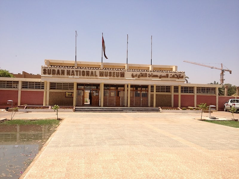
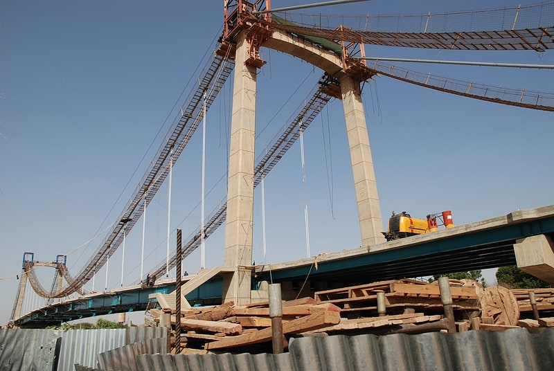
Nearby attractions include Sudan University of Science and Technology, Khartoum (5 min walk), Neelain University, Khartoum (7 min walk), Al Mogran, Khartoum (16 min walk), Tuti Bridge, Khartoum (17 min walk).
How to get to Khartoum Stadium by public transport?
The nearest stations to Khartoum Stadium:
Bus
Train
Bus
- موقف الاستاد (3 min walk)
- موقف جاكسون (10 min walk)
Train
- هيئة سكك حديد السودان (20 min walk)
- Khartoum train station (21 min walk)