Roseires Dam
Map

Map

Facts and practical information
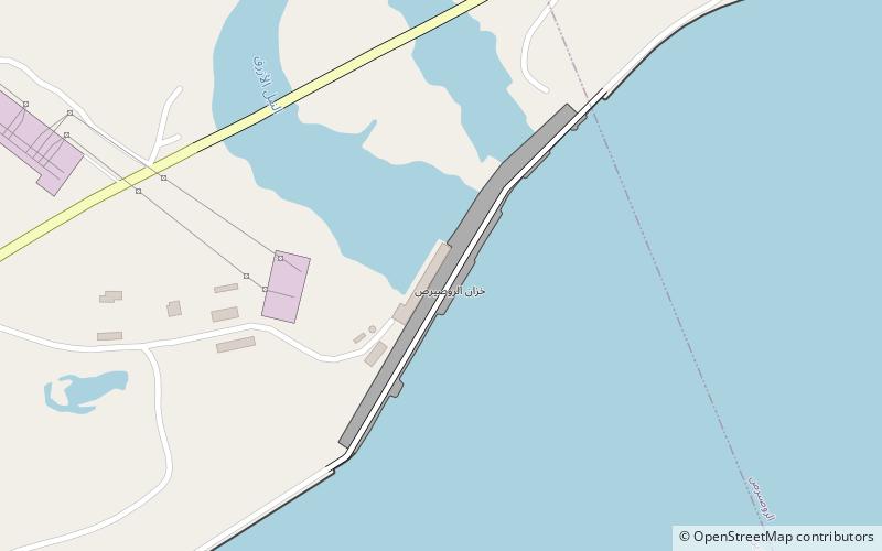
The Roseires Dam is a dam on the Blue Nile at Ad Damazin, just upstream of the town of Er Roseires, in Sudan. It consists of a concrete buttress dam 1 km wide with a maximum height of 68 m, and an earth dam on either side. The earth dam on the eastern bank is 4 km long, and that on the western bank is 8.5 km long. The reservoir has a surface area of about 290 km2. ()
Local name: سد الروصيرص Opened: 1966 (60 years ago)Length: 15.17 miHeight: 256 ftReservoir area: 111.97 mi²Coordinates: 11°47'52"N, 34°23'14"E
Location
Blue Nile
ContactAdd
Social media
Add
Day trips
Roseires Dam – popular in the area (distance from the attraction)
Nearby attractions include: Ad Damazin District.

