Ramberget, Gothenburg
Map

Gallery

Facts and practical information
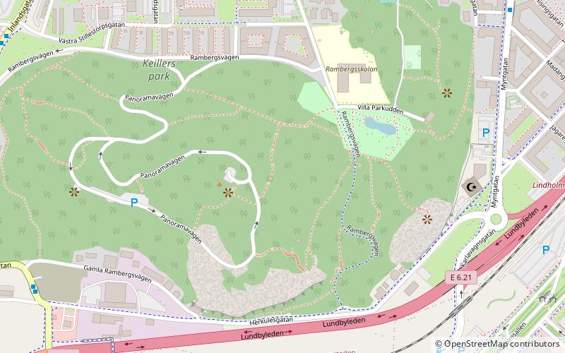
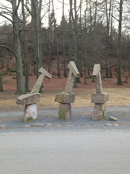
Ramberget is a mountain on Hisingen island in Gothenburg, Sweden. The surrounding area and park is called Keillers Park. Ramberget is a popular tourist attraction and a place for outdoor recreation for Gothenburg residents, with walking paths, lookouts over the city of Gothenburg and artworks. Ramberget is with its highest point 87 metres above sea level, with a lower second point called Ättestupan. There is a road for cars going to the top of Ramberget. The park is about 31 hectares. ()
Address
RambergsstadenGothenburg
ContactAdd
Social media
Add
Day trips
Ramberget – popular in the area (distance from the attraction)
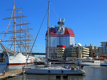
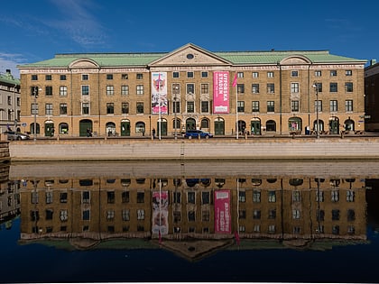
Nearby attractions include: Lilla Bommen Building, Feskekôrka, The Göteborg Opera, Göteborg City Museum.
Frequently Asked Questions (FAQ)
Which popular attractions are close to Ramberget?
Nearby attractions include Gothenburg Mosque, Gothenburg (6 min walk), Gothenburg Radio Museum, Gothenburg (13 min walk), Teater Aftonstjärnan, Gothenburg (15 min walk), Backa Teater, Gothenburg (16 min walk).
How to get to Ramberget by public transport?
The nearest stations to Ramberget:
Bus
Tram
Ferry
Bus
- Herkulesgatan • Lines: 31 (8 min walk)
- Madängsgatan • Lines: 99 (9 min walk)
Tram
- Wieselgrensplatsen • Lines: 10, 5, 6 (11 min walk)
- Vågmästareplatsen • Lines: 10, 5, 6 (13 min walk)
Ferry
- Lindholmspiren • Lines: 285 Älvsnabben, 286 Älvsnabbare (17 min walk)
- Slottsberget • Lines: 285 Älvsnabben (23 min walk)


