Stora Alvaret, Öland
Map

Gallery

Facts and practical information
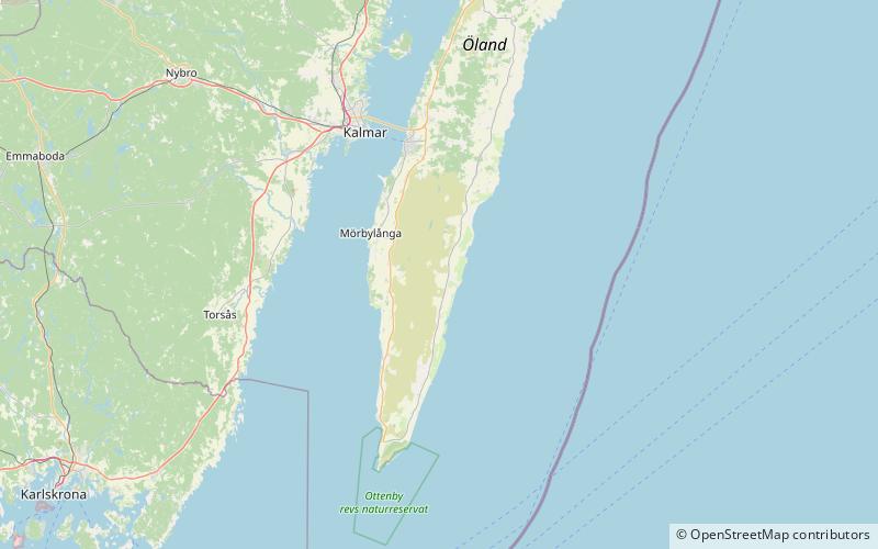
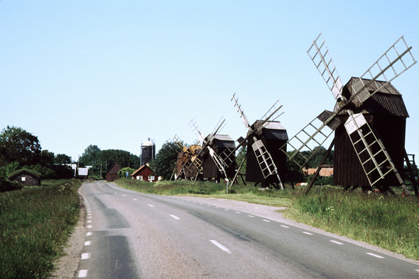
The agricultural landscape of southern Öland is an area of more than 56,000 hectares located on the island of Öland, Sweden. It includes Stora alvaret, a limestone plateau of around half that surface. Stora alvaret is a dagger-shaped area almost 40 km long and about 10 km at its widest north end. This limestone plain, around a quarter of the surface of the island, is the most extended of its kind in Europe. As a result of the thin layer of soil and high pH levels, it presents a wide range of plants, including many rare species. ()
Local name: Södra Ölands odlingslandskap Unesco: from 2000Area: 23.43 mi²Coordinates: 56°28'0"N, 16°32'60"E
Address
Öland
ContactAdd
Social media
Add
