Munkbroleden, Stockholm
Map
Gallery
Facts and practical information
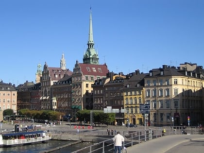
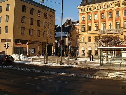
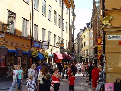
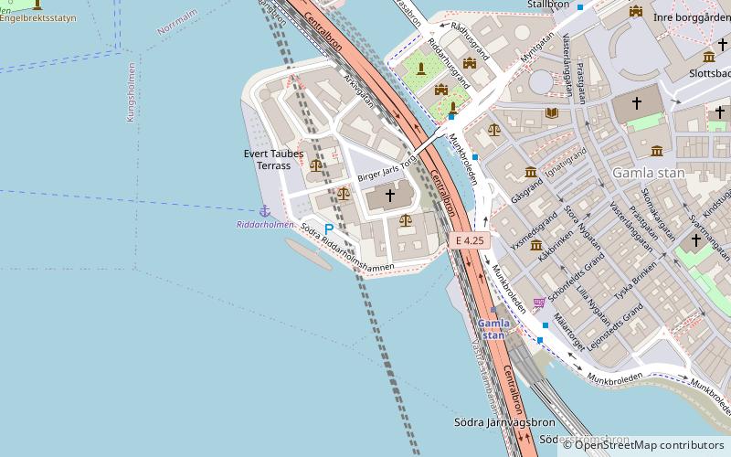
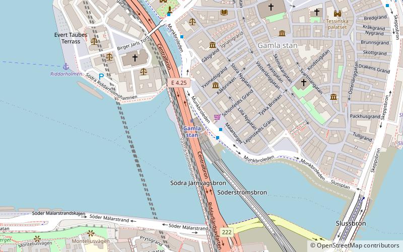
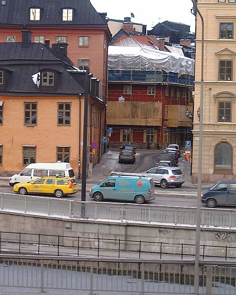
Munkbroleden is a busy street passing along the western waterfront of Gamla stan, the old town in central Stockholm, Sweden. Stretching north from Slussen to Riddarhustorget, Munkbroleden passes by three squares – Kornhamnstorg, Mälartorget, and Munkbron – while several streets and alleys from within the narrow conglomeration of the old town connects to it – Triewaldsgränd, Funckens Gränd, Lejonstedts Gränd, Tyska Brinken, Kåkbrinken and Stora Gråmunkegränd. ()
Day trips
Munkbroleden – popular in the area (distance from the attraction)
Nearby attractions include: Kornhamnstorg, Mälartorget, Bedoirsgränd, Västerlånggatan.
Frequently Asked Questions (FAQ)
Which popular attractions are close to Munkbroleden?
Nearby attractions include Fru Gunillas Gränd, Stockholm (1 min walk), Munkbrohamnen, Stockholm (1 min walk), Mälartorget, Stockholm (1 min walk), Munkbrogatan, Stockholm (2 min walk).
How to get to Munkbroleden by public transport?
The nearest stations to Munkbroleden:
Metro
Bus
Ferry
Train
Tram
Metro
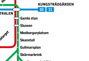
- Gamla stan • Lines: 13, 14, 17, 18, 19 (1 min walk)
- Slussen • Lines: 13, 14, 17, 18, 19 (9 min walk)
Bus
- Mälartorget • Lines: 3, 53 (1 min walk)
- Riddarhustorget • Lines: 3, 53 (4 min walk)
Ferry
- Riddarholmen • Lines: Båt (6 min walk)
- Slussen • Lines: 18, 24, 82 (8 min walk)
Train
- Stockholms central (19 min walk)
- Stockholm City (18 min walk)
Tram
- T-Centralen • Lines: 7 (17 min walk)
- Kungsträdgården • Lines: 7 (18 min walk)

 Metro
Metro Rail network map